College Hill, Providence
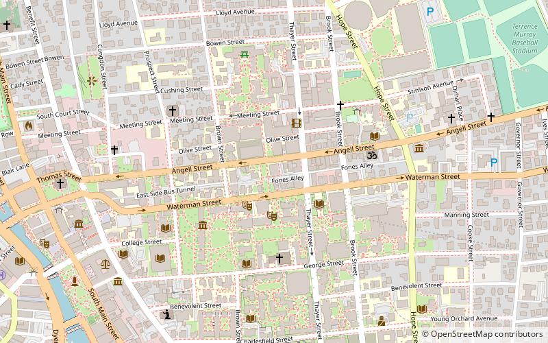
Map
Gallery
Facts and practical information
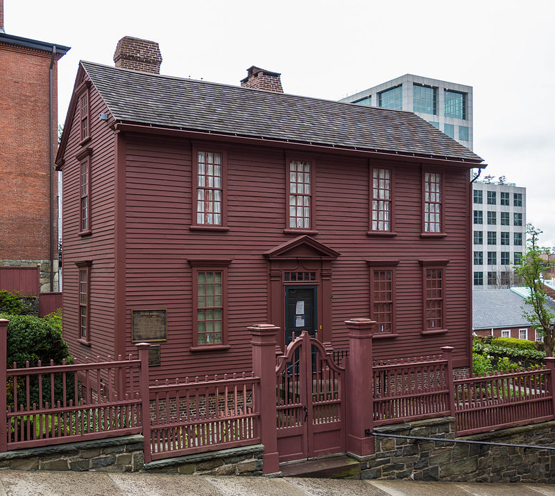
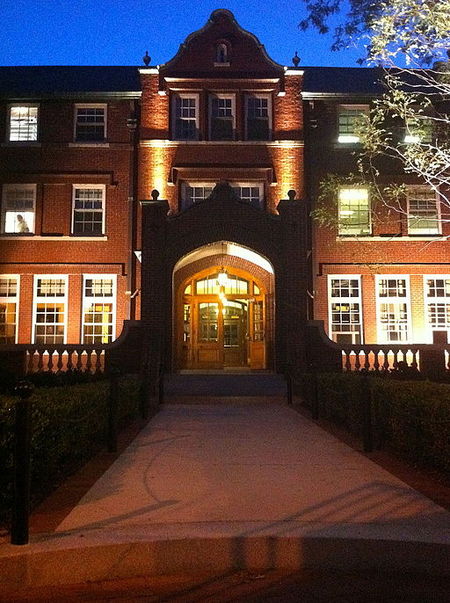
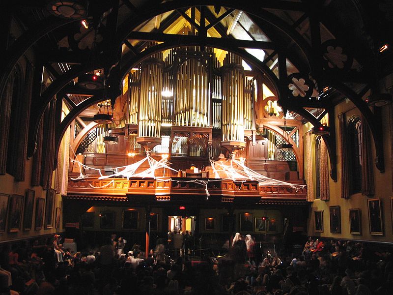
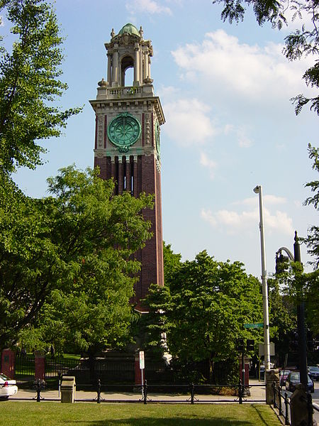
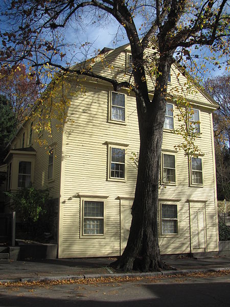
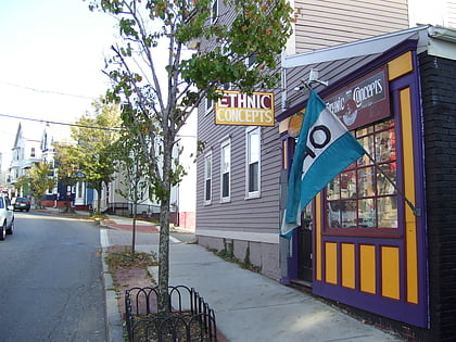
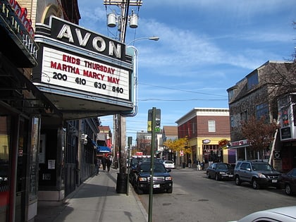
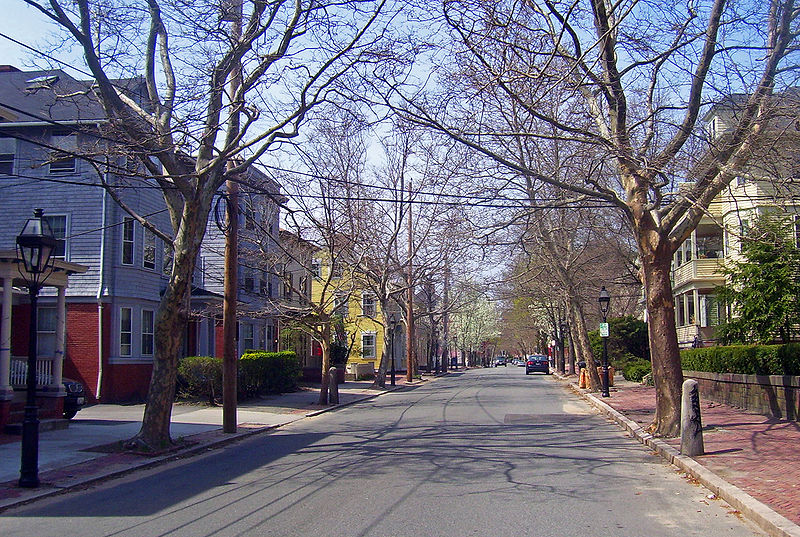
College Hill is a historic neighborhood of Providence, Rhode Island, and one of six neighborhoods comprising the city's East Side. It is roughly bounded by South and North Main Street to the west, Power Street to the south, Governor Street and Arlington Avenue to the east and Olney Street to the north. The neighborhood's primary commercial area extends along Thayer Street, a strip frequented by students in the Providence area. ()
Coordinates: 41°49'46"N, 71°24'7"W
Address
College HillProvidence
ContactAdd
Social media
Add
Day trips
College Hill – popular in the area (distance from the attraction)
Nearby attractions include: Wickenden Street, Providence Place, The Arcade, Prospect Terrace Park.
Frequently Asked Questions (FAQ)
Which popular attractions are close to College Hill?
Nearby attractions include Rites and Reason Theatre, Providence (4 min walk), Sciences Library, Providence (5 min walk), Brown University, Providence (6 min walk), Haffenreffer Museum of Anthropology, Providence (6 min walk).
How to get to College Hill by public transport?
The nearest stations to College Hill:
Bus
Train
Bus
- Memorial and Exchange • Lines: 12x, 14, 21, 30, 65x, 95x (15 min walk)
- Kennedy Plaza Stop Y • Lines: 49, 60 (15 min walk)
Train
- Providence (15 min walk)


