Wickenden Street, Providence

Gallery (3)
Map
Map
Gallery
Facts and practical information
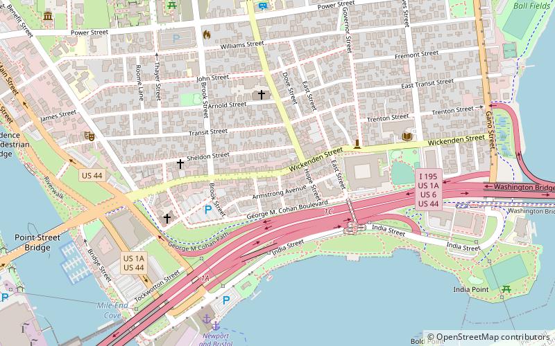
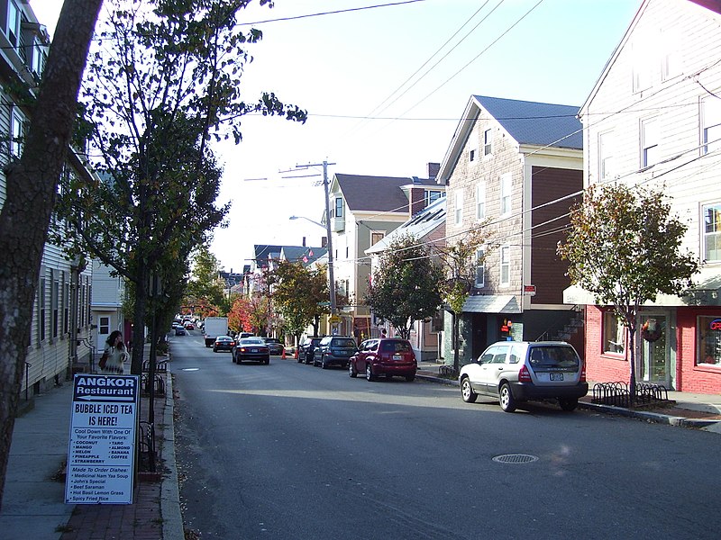
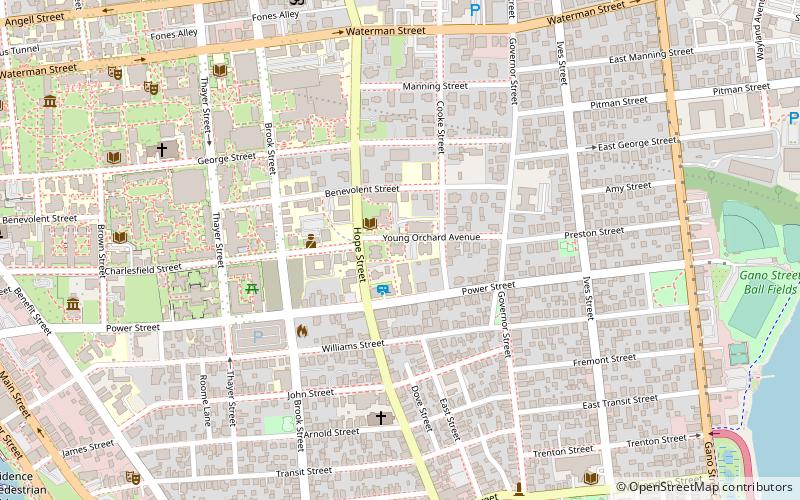
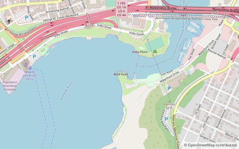
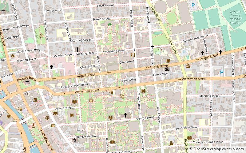
Wickenden Street in Fox Point, Providence, Rhode Island is a popular destination for students of the area's colleges and schools. The street is surrounded by schools and universities on the East Side of Providence's College Hill, including Brown University, RISD, Moses Brown School, & The Wheeler School. ()
Coordinates: 41°49'11"N, 71°23'46"W
Address
Fox PointProvidence
ContactAdd
Social media
Add
Getting there by public transportation
Public transportation stops near this location
- Bus
- Train
 Bus
Bus
- Calculate routeEddy and Borden 20 min walk
- Calculate routeDorrance and Pine 20 min walk
- Calculate routeKennedy Plaza Intermodal Transportation Center 23 min walk
- Calculate routeKennedy Plaza Stop V 24 min walk
- Calculate routeProvidence 29 min walk
Day trips


Frequently Asked Questions (FAQ)
Which popular attractions are close to Wickenden Street?
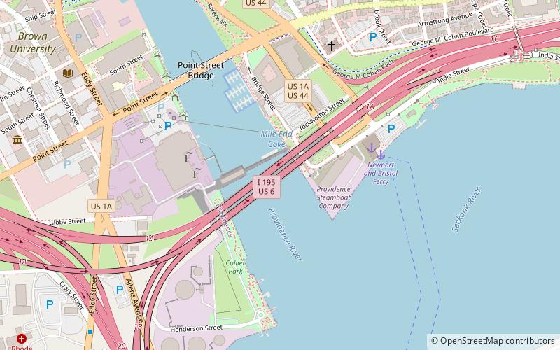
Nearby attractions include India Point Park, Providence (4 min walk), Fox Point, Providence (4 min walk), Providence Community Boating Center, Providence (5 min walk), Rhode Island Historical Society, Providence (8 min walk).
How to get to Wickenden Street by public transport?
The nearest stations to Wickenden Street:
Bus
Train
Bus
- Eddy and Borden • Lines: 3, 3A, 3B (20 min walk)
- Dorrance and Pine • Lines: 1, 3, 3A, 3B, 62 (20 min walk)
Train
- Providence (29 min walk)