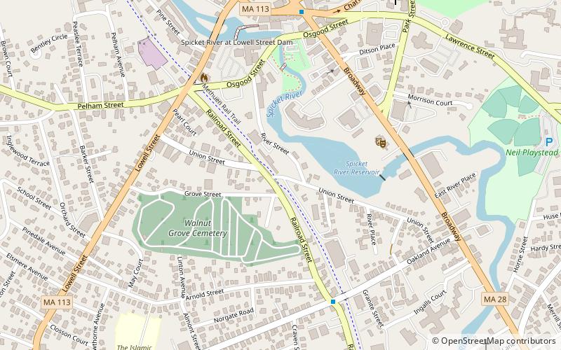
Methuen Rail Trail, Methuen
Map

Map

Facts and practical information
The Methuen Rail Trail is a rail trail in Methuen and Lawrence, Massachusetts, in the United States. It is 2.4 miles long, measuring from Manchester Street in Lawrence to the New Hampshire state border. The abandoned rail path continues in both directions; south of Manchester Street, the path is abandoned and walkable, although with no indication of it being a trail, while to the north, the trail continues as the Salem Rail Trail in Salem, New Hampshire. ()
Coordinates: 42°43'27"N, 71°11'18"W
Address
Methuen (Downtown Methuen)Methuen
ContactAdd
Social media
Add
Day trips
Methuen Rail Trail – popular in the area (distance from the attraction)
Nearby attractions include: Methuen Memorial Music Hall, High Service Water Tower and Reservoir, Lawrence Street Cemetery, Greycourt State Park.
Frequently Asked Questions (FAQ)
Which popular attractions are close to Methuen Rail Trail?
Nearby attractions include Walnut Grove Cemetery, Methuen (4 min walk), Methuen Memorial Music Hall, Methuen (5 min walk), Spicket Falls Historic District, Methuen (5 min walk), Johnson House, Methuen (6 min walk).


