Greycourt State Park, Methuen
Map

Map

Facts and practical information
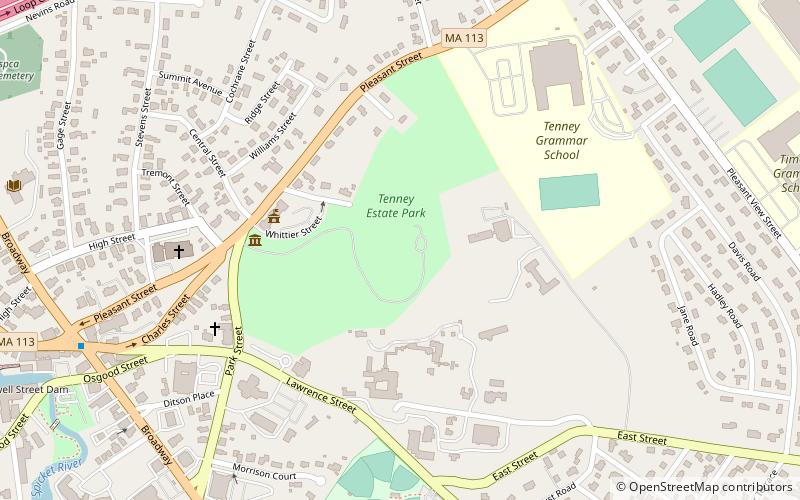
Greycourt State Park is a public recreation area covering 24 acres atop the partially restored ruins of the Charles H. Tenney estate in Methuen, Massachusetts. The state park is a satellite of Lawrence Heritage State Park managed by the Department of Conservation and Recreation and the City of Methuen. ()
Established: 2001 (25 years ago)Elevation: 171 ft a.s.l.Coordinates: 42°43'46"N, 71°10'51"W
Day trips
Greycourt State Park – popular in the area (distance from the attraction)
Nearby attractions include: Methuen Memorial Music Hall, Lawrence Street Cemetery, First Baptist Church, First Church Congregational.
Frequently Asked Questions (FAQ)
Which popular attractions are close to Greycourt State Park?
Nearby attractions include Lawrence Street Cemetery, Methuen (5 min walk), Tenney Castle Gatehouse, Methuen (5 min walk), First Baptist Church, Methuen (6 min walk), Pleasant–High Historic District, Methuen (7 min walk).
How to get to Greycourt State Park by public transport?
The nearest stations to Greycourt State Park:
Bus
Bus
- The Loop/Methuen Plaza • Lines: 83 (40 min walk)


