Petroglyph Point Archeological Site, Lava Beds National Monument
Map

Map

Facts and practical information
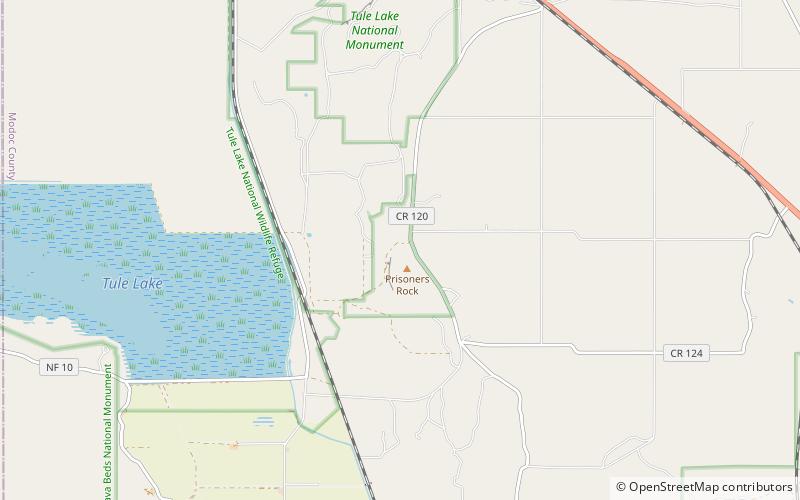
The Petroglyph Point is an archaeological site within the Lava Beds National Monument, located southeast of Tulelake, California. Petroglyph Point contains one of the largest panels of Native American rock art in the United States. The petroglyphs are carved along the face of a former island of ancient Tule Lake, in a region historically of the Modoc people territory. The Petroglyph Point Archeological Site was listed on the National Register of Historic Places in 1975, while the Lava Beds National Monument Archeological District was listed in March 1991. ()
Established: 29 May 1975 (50 years ago)Coordinates: 41°50'50"N, 121°23'20"W
Address
Lava Beds National Monument
ContactAdd
Social media
Add
