Mount David Douglas, Andrews Forest
Map
Facts and practical information
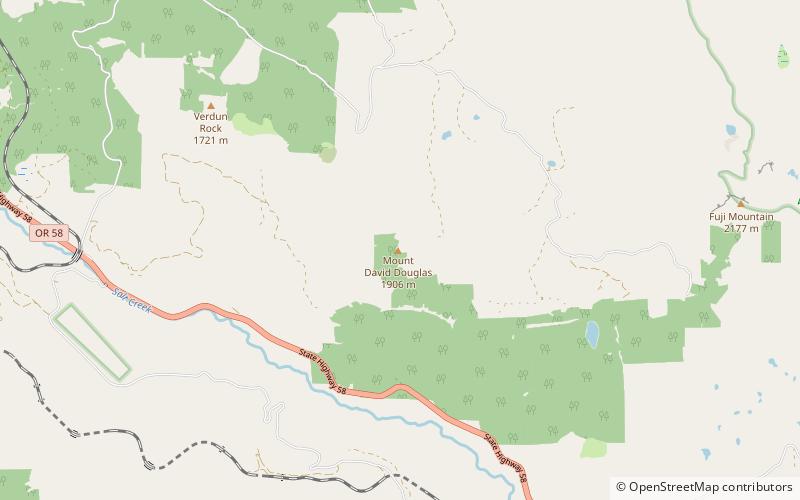
Mount David Douglas is a summit in Lane County, Oregon, in the United States. with an elevation of 6,255 feet NGVD 29. ()
Coordinates: 43°39'13"N, 122°9'43"W
Address
Andrews Forest
ContactAdd
Social media
Add
Day trips

