Diamond Creek Falls, Andrews Forest
Map

Map

Facts and practical information
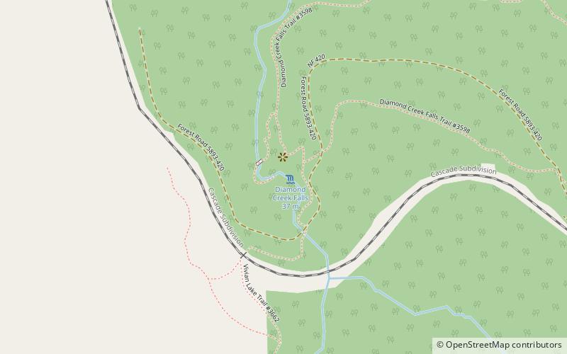
Diamond Creek Falls is a waterfall formed along Gibson Canyon on the north end of Willamette National Forest, east side of the city of Oakridge in Lane County, Oregon. Access to Diamond Creek Falls is located along Oregon Route 58 through trail paths that lead down to the stream and the base of the waterfall. ()
Height: 120 ftCoordinates: 43°36'26"N, 122°8'38"W
Address
Andrews Forest
ContactAdd
Social media
Add
Day trips
Diamond Creek Falls – popular in the area (distance from the attraction)
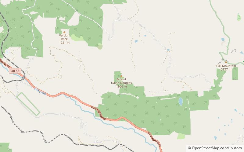
Nearby attractions include: Salt Creek Falls, Willamette Pass Resort, Mount David Douglas, Waldo Lake.


