McNears Beach, San Rafael
Map
Map

Facts and practical information
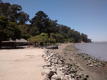
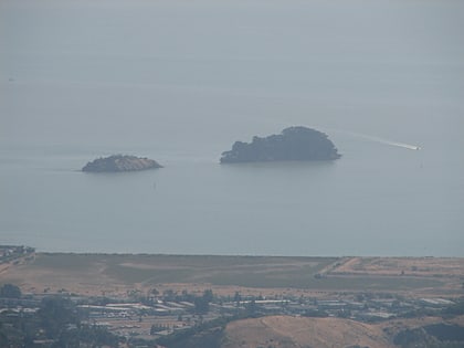
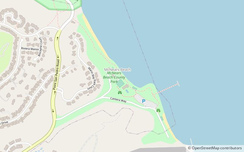
McNears Beach was the site of a fashionable beach resort established in the 1880s on San Pablo Bay in Marin County, California. It was located 0.5 miles north-northwest of Point San Pedro, and 3.4 miles northeast of San Rafael. The United States Board of Geographic Names rejected other, similar names proposed for the site, including McNear, McNear Landing, and McNear's Beach. ()
Elevation: 7 ft a.s.l.Coordinates: 37°59'34"N, 122°27'11"W
Day trips
McNears Beach – popular in the area (distance from the attraction)
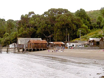
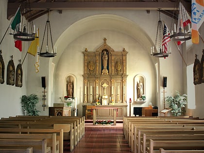
Nearby attractions include: China Camp State Park, Mission San Rafael Arcángel, East Brother Island Light, Christopher B. Smith Rafael Film Center.
Frequently Asked Questions (FAQ)
How to get to McNears Beach by public transport?
The nearest stations to McNears Beach:
Bus
Bus
- Lagoon Road & Peacock Drive • Lines: 122 (29 min walk)
- Point San Pedro Road & Knight Drive • Lines: 122 (37 min walk)
