Point Potrero Pond, Richmond
Map
Facts and practical information
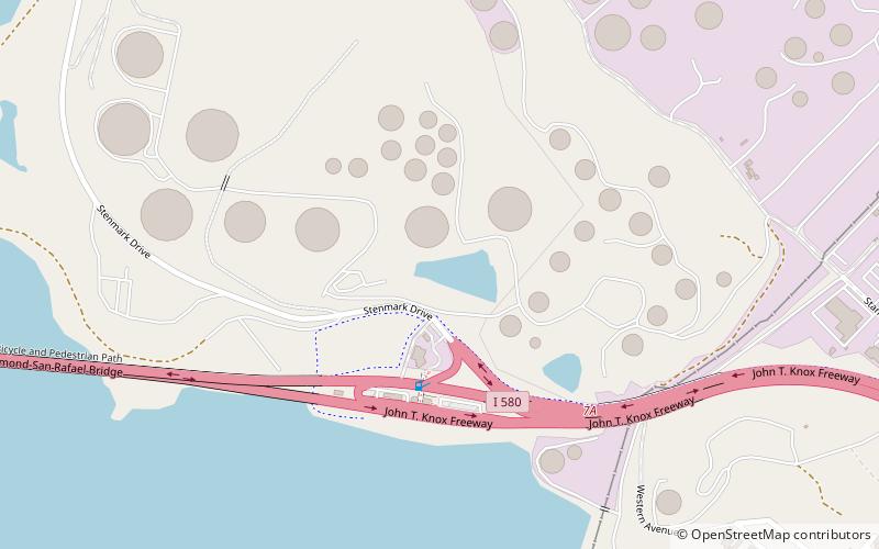
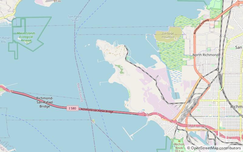
Potrero Hills Pond is a small lake in Richmond, California. It was formed from quarrying of hills near Potrero Hills at the Blake Brothers Quarry. It is fed by underground springs. It is now polluted and surrounded by a Chevron Richmond Refinery tank farm. ()
Elevation: 66 ft a.s.l.Coordinates: 37°56'3"N, 122°24'11"W
Address
Richmond
ContactAdd
Social media
Add
Getting there by public transportation
Public transportation stops near this location
- Bus
 Bus
Bus
- Calculate routeTewksbury Turnaround 25 min walk
- Calculate routeTewksbury Avenue & Castro Street 25 min walk
- Calculate routeTewksbury Avenue & Washington Avenue 29 min walk
- Calculate routeSouth Garrard Boulevard & West Cutting Boulevard 32 min walk
Day trips


Frequently Asked Questions (FAQ)
How to get to Point Potrero Pond by public transport?
The nearest stations to Point Potrero Pond:
Bus
Bus
- Tewksbury Turnaround (25 min walk)
- Tewksbury Avenue & Castro Street • Lines: 40, 72M (25 min walk)