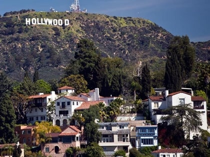
Cahuenga Peak, Los Angeles
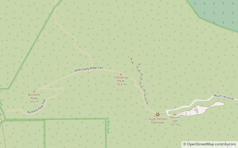
Map
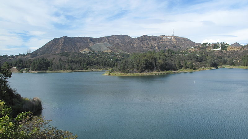
Gallery
Facts and practical information
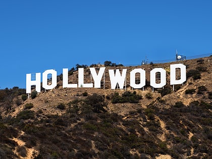
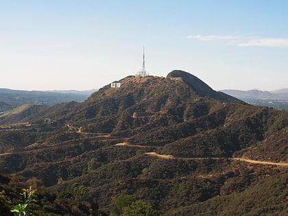
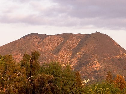
Cahuenga Peak is the 12th-highest named peak in the Santa Monica Mountains and is located just west of the Hollywood Sign. It provides a spectacular 360-degree panorama of the Los Angeles Basin and the San Fernando Valley for those hikers willing to climb the roadless peak. ()
Elevation: 1821 ftProminence: 1030 ftCoordinates: 34°8'13"N, 118°19'34"W
Address
Central Los Angeles (Hollywood Hills West)Los Angeles
ContactAdd
Social media
Add
Day trips
Cahuenga Peak – popular in the area (distance from the attraction)
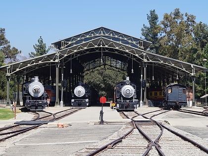
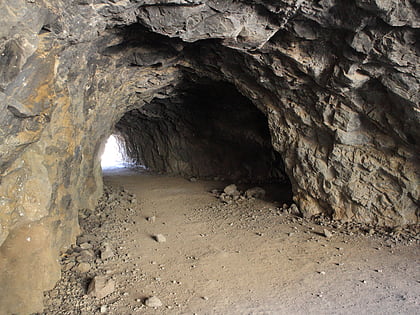
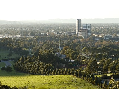
Nearby attractions include: Hollywood Sign, Travel Town Museum, Bronson Caves, Forest Lawn Memorial Park.
Frequently Asked Questions (FAQ)
Which popular attractions are close to Cahuenga Peak?
Nearby attractions include Mount Lee, Los Angeles (8 min walk), Hollywood Sign, Los Angeles (8 min walk), Forest Lawn Memorial Park, Los Angeles (19 min walk).
 Metro & Regional Rail