Cahuenga Pass, Burbank
Map
Map

Facts and practical information
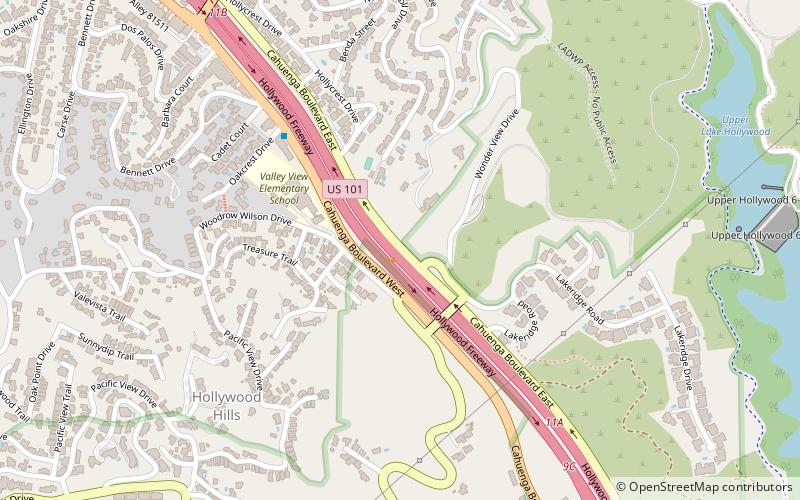
The Cahuenga Pass is a low mountain pass through the eastern end of the Santa Monica Mountains in the Hollywood Hills district of the City of Los Angeles, California. It has an elevation of 745 ft. The Cahuenga Pass connects the Los Angeles Basin to the San Fernando Valley via U.S. Route 101 and Cahuenga Boulevard. It is the lowest pass through the mountains. ()
Address
Central Los Angeles (Hollywood Hills West)Burbank
ContactAdd
Social media
Add
Day trips
Cahuenga Pass – popular in the area (distance from the attraction)
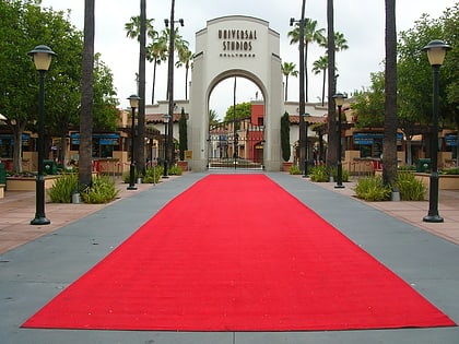
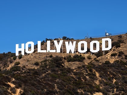
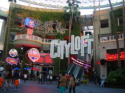
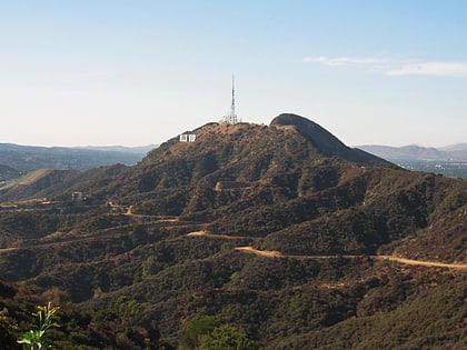
Nearby attractions include: Universal Studios Hollywood, Hollywood Sign, The Baked Potato, Universal CityWalk.
Frequently Asked Questions (FAQ)
Which popular attractions are close to Cahuenga Pass?
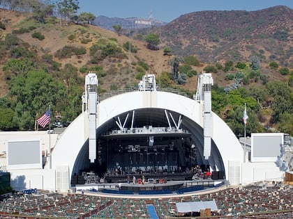
Nearby attractions include Hollywood Hills, Los Angeles (9 min walk), Mulholland Dam, Burbank (20 min walk), Hollywood Reservoir, Los Angeles (21 min walk), Hollywood Bowl, Los Angeles (22 min walk).
How to get to Cahuenga Pass by public transport?
The nearest stations to Cahuenga Pass:
Metro
Bus
Metro
- Universal City • Lines: B (39 min walk)
Bus
- Universal City (40 min walk)

