Zumbrota Golf Club, Zumbrota

Gallery (1)
Map
Map
Facts and practical information
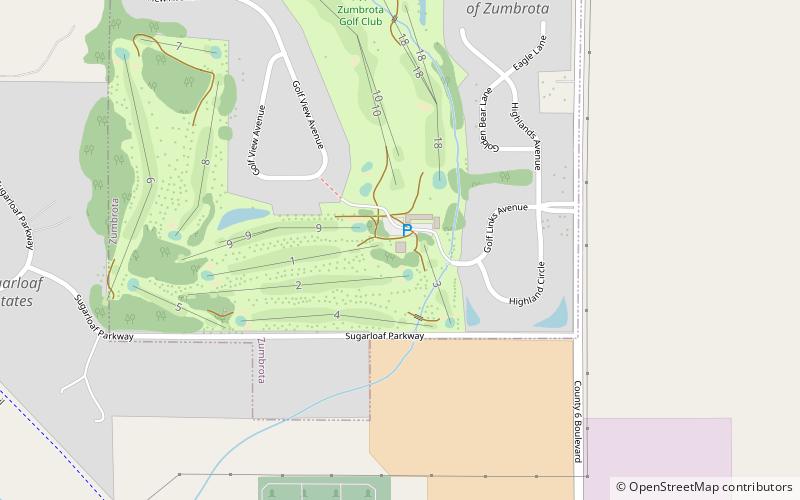
Zumbrota Golf Club (address: 80 Golflinks Ave) is a place located in Zumbrota (Minnesota state) and belongs to the category of golf.
It is situated at an altitude of 1010 feet, and its geographical coordinates are 44°18'33"N latitude and 92°40'30"W longitude.
Among other places and attractions worth visiting in the area are: Zumbrota Covered Bridge (bridge, 24 min walk), Crossings At Carnegie (theater, 29 min walk), First Congregational Church of Zumbrota (church, 33 min walk).
Coordinates: 44°18'33"N, 92°40'30"W
Day trips


