Highland Mountains, Beaverhead–Deerlodge National Forest
Map
Facts and practical information
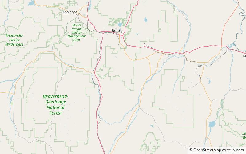
The Highland Mountains, highest point Table Mountain, el. 10,223 feet, are a small mountain range southwest of Whitehall, Montana in Silver Bow and Madison County, Montana. ()
Maximum elevation: 10223 ftCoordinates: 45°43'34"N, 112°28'44"W
Address
Beaverhead–Deerlodge National Forest
ContactAdd
Social media
Add
Day trips

