Table Mountain, Beaverhead–Deerlodge National Forest
Map

Map

Facts and practical information
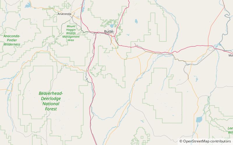
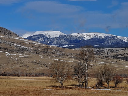
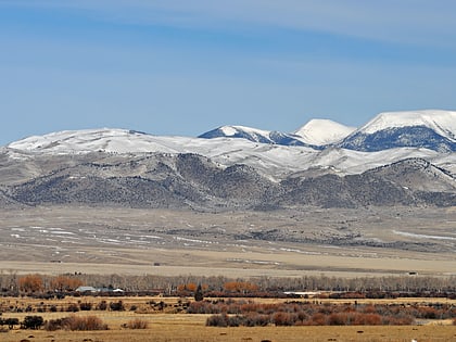
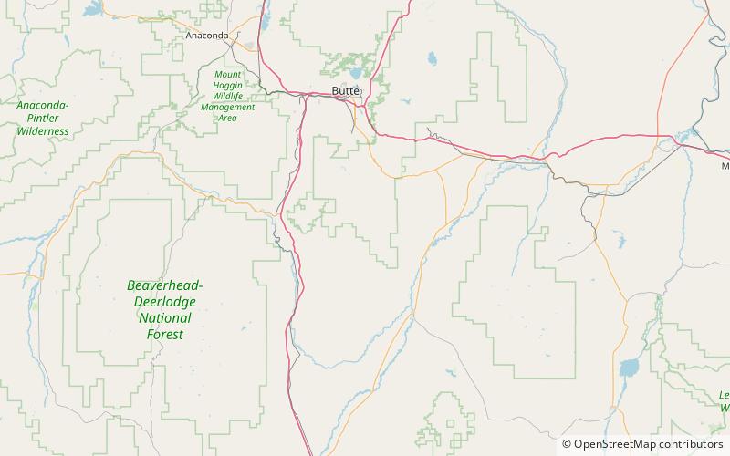
Table Mountain, el. 10,213 feet is the highest peak in the Highland Mountains in Madison County, Montana. It is located in Beaverhead-Deerlodge National Forest. Headwaters of Moose Creek, Fish Creek and Hell's Canyon Creek, all significant tributaries of the Jefferson River flow off the face of the mountain. ()
Elevation: 10213 ftProminence: 4422 ftCoordinates: 45°44'32"N, 112°27'43"W
Address
Beaverhead–Deerlodge National Forest
ContactAdd
Social media
Add
Day trips
Table Mountain – popular in the area (distance from the attraction)
Nearby attractions include: West Peak, Highland Mountains.


