Jacks Knob, Mark Trail Wilderness
Map

Map

Facts and practical information
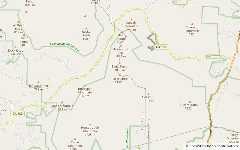
Jacks Knob is a mountain located on the border of Towns County and Union County, Georgia, with a peak elevation of 3,813 feet. The Appalachian Trail crosses the southern flank of the mountain and Jacks Knob Trail ends here at an intersection with the Appalachian Trail. Jacks Knob is in the Mark Trail Wilderness of the Chattahoochee National Forest. ()
Elevation: 3813 ftCoordinates: 34°49'30"N, 83°47'42"W
Address
Mark Trail Wilderness
ContactAdd
Social media
Add
Day trips
Jacks Knob – popular in the area (distance from the attraction)
Nearby attractions include: Brasstown Bald, Anna Ruby Falls, Blue Hole Falls, Horsetrough Falls.


