Midtown Miami, Miami
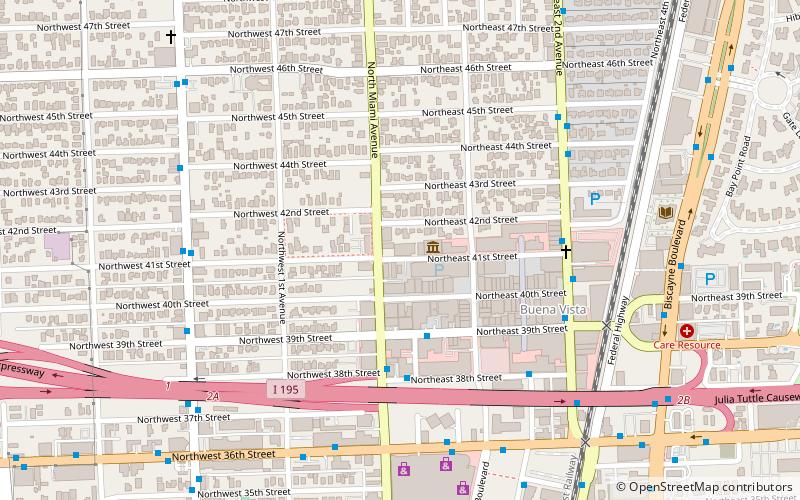
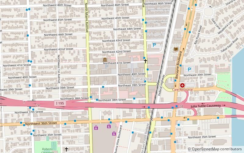
Map

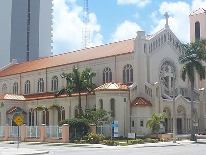
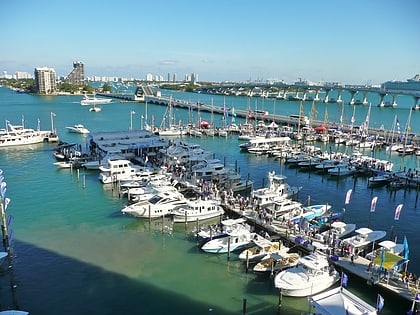
Gallery
Facts and practical information
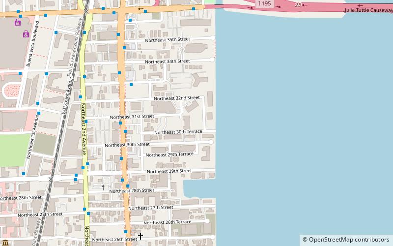
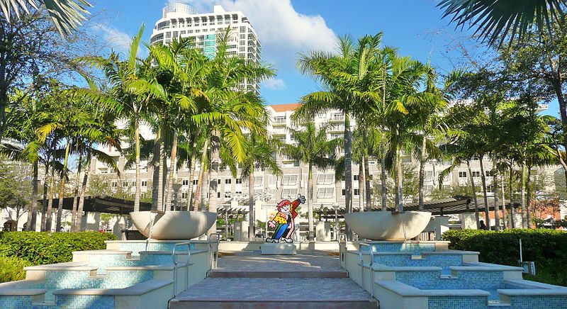
Midtown Miami is the collective term for the Wynwood and Edgewater neighborhoods of Miami, Florida, United States, north of Downtown and south of the Miami Design District. It is roughly bound by North 20th Street to the south, I-195 to the north, I-95 to the west and Biscayne Bay to the east. ()
Coordinates: 25°48'26"N, 80°11'36"W
Day trips
Midtown Miami – popular in the area (distance from the attraction)
Nearby attractions include: Omni, Miami City Cemetery, Locust Projects, De la Cruz Collection.
Frequently Asked Questions (FAQ)
Which popular attractions are close to Midtown Miami?
Nearby attractions include Rubell Family Collection, Miami (8 min walk), Miami Design District, Miami (10 min walk), Locust Projects, Miami (10 min walk), Markowicz Fine Art, Miami (11 min walk).
How to get to Midtown Miami by public transport?
The nearest stations to Midtown Miami:
Bus
Bus
- Northeast 2nd Avenue & Northeast 32nd Street • Lines: 9 (4 min walk)
- Northeast 2nd Avenue & Northeast 31st Street • Lines: 10, 9 (4 min walk)


