Getty Square, Yonkers
Map
Gallery
Facts and practical information
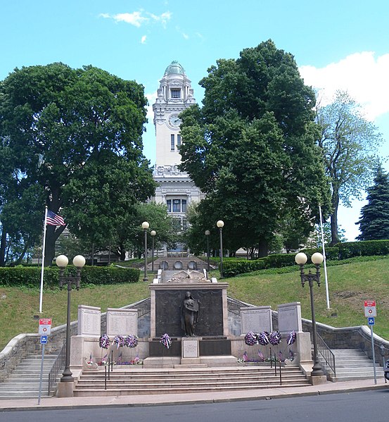
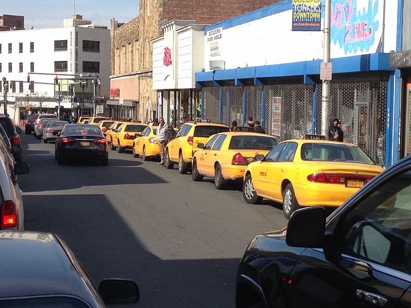
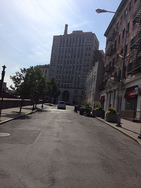
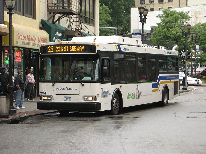
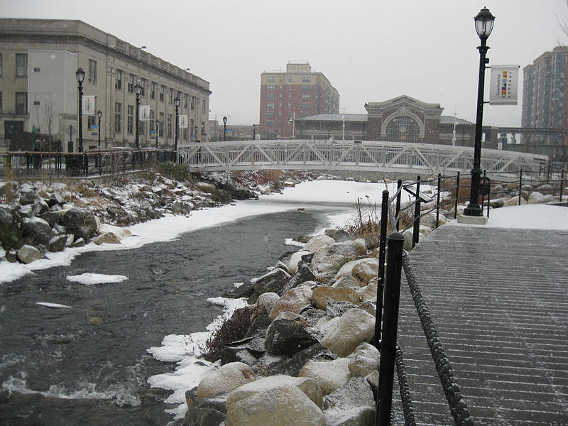
Getty Square is the name for downtown Yonkers, New York, centered on the public square. Getty Square is the civic center, central business district, and transit hub of the City of Yonkers. A dense and growing residential area, it is located in southern Westchester County, New York. The square is named after prominent 19th-century merchant Robert Getty. ()
Coordinates: 40°56'2"N, 73°53'52"W
Day trips
Getty Square – popular in the area (distance from the attraction)
Nearby attractions include: Immaculate Conception St. Mary's Church, Tibbetts Brook Park, Philipse Manor Hall State Historic Site, Ethan Flagg House-Blessed Sacrament Monastery.
Frequently Asked Questions (FAQ)
Which popular attractions are close to Getty Square?
Nearby attractions include St. John's Protestant Episcopal Church, Yonkers (1 min walk), Proctor's Theater, Yonkers (4 min walk), Philipse Manor Hall State Historic Site, Yonkers (5 min walk), Yonkers Public Library, Yonkers (7 min walk).
How to get to Getty Square by public transport?
The nearest stations to Getty Square:
Train
Train
- Yonkers (7 min walk)
- Ludlow (22 min walk)


