Rodeo Drive, Los Angeles


Facts and practical information
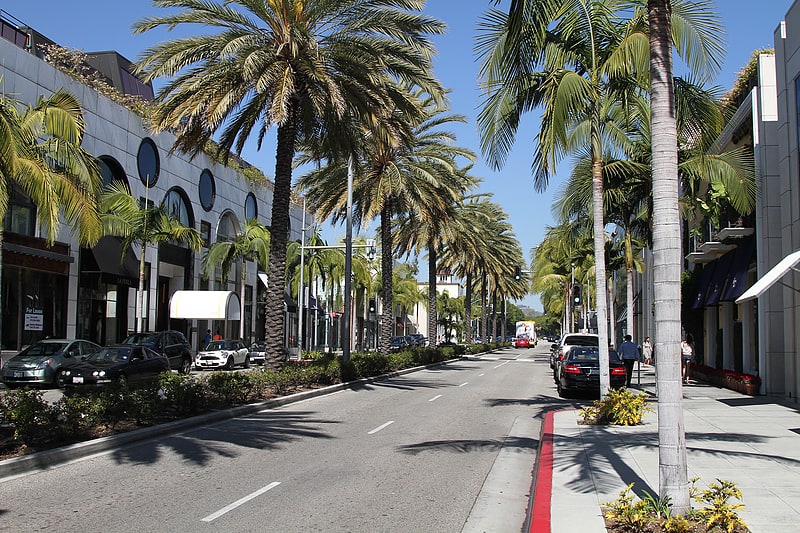
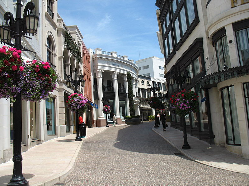
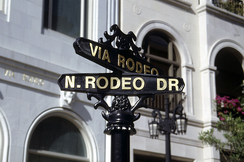
Rodeo Drive, located in the heart of Beverly Hills, Los Angeles, epitomizes luxury, fashion, and exclusivity. This famed shopping district, spanning just three blocks within the 90210 zip code, is home to a constellation of high-end designer boutiques, jewelry stores, and opulent hotels that cater to the whims of the rich and famous.
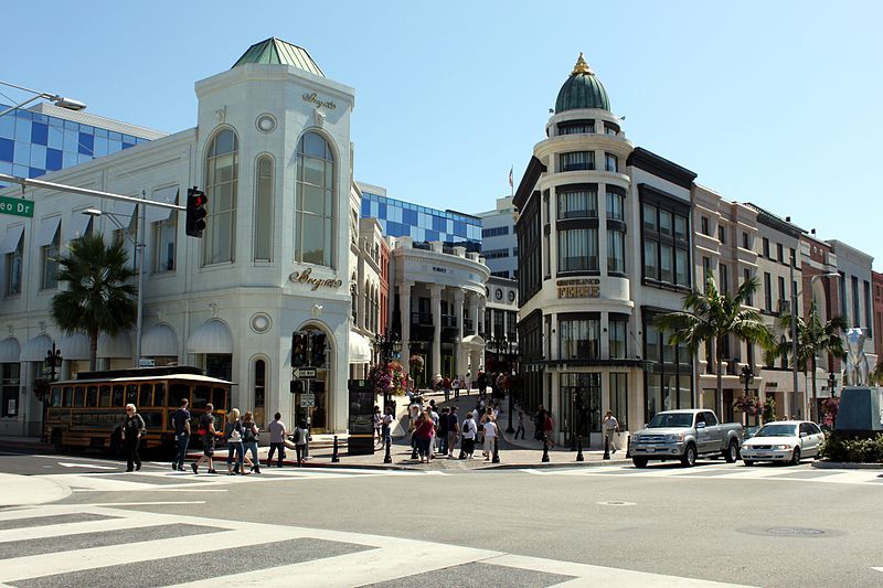
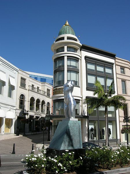
Regarded as one of the world's most prestigious retail streets, Rodeo Drive is synonymous with unparalleled elegance and sophistication. The district's meticulously curated selection of brands includes iconic names such as Gucci, Chanel, Cartier, and Louis Vuitton, to name just a few. These flagship stores not only display the latest in haute couture but also boast architectural designs that are attractions in their own right.
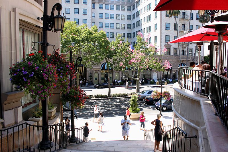
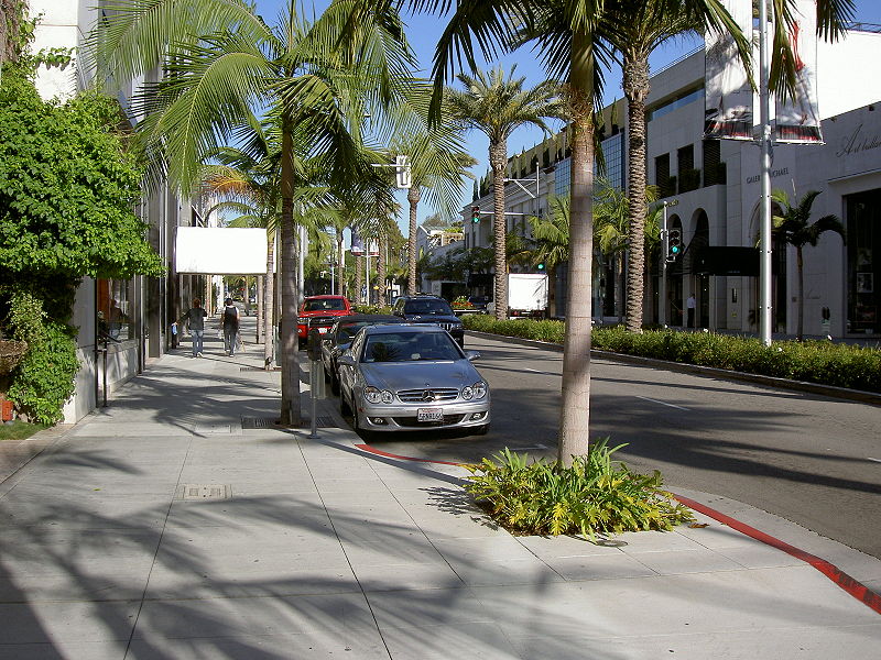
The allure of Rodeo Drive extends beyond its retail offerings. The street is an embodiment of the luxury lifestyle, with its palm-lined sidewalks and European-style cobblestone walkways. Visitors can experience the area's opulence by simply strolling along the thoroughfare, often rubbing shoulders with celebrities and socialites.
During special events, such as the annual Rodeo Drive Concours d'Elegance, the street transforms into a showcase of vintage and luxury cars, further enhancing its reputation as a haven for the affluent.
- Bus
 Bus
Bus
- Calculate routeSanta Monica & Camden 5 min walk
 Metro & Regional Rail
Rodeo Drive – popular in the area (distance from the attraction)
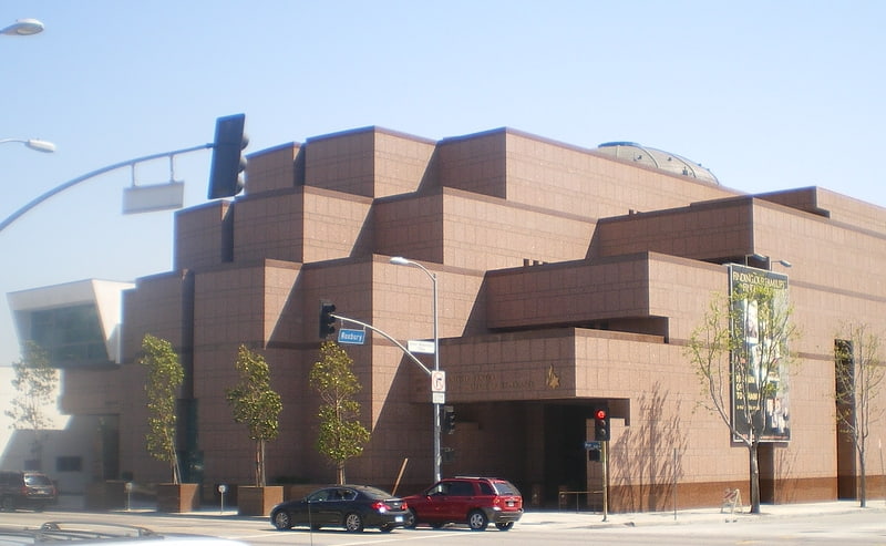
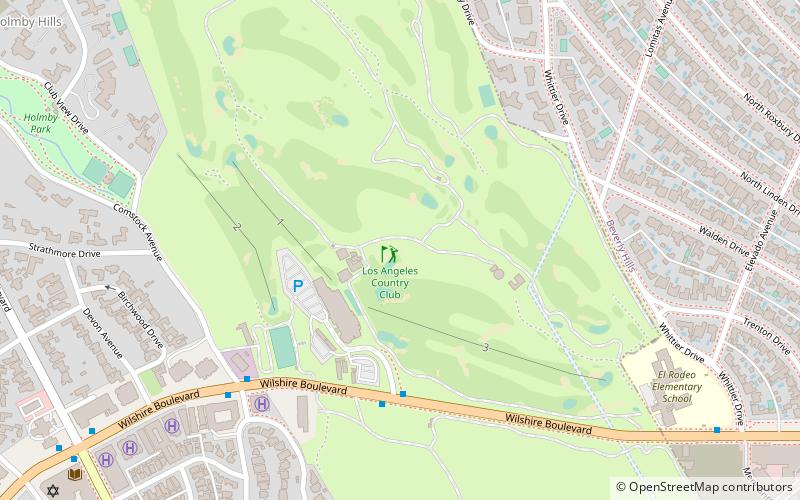
Nearby attractions include: Museum of Tolerance, Two Rodeo, Saks Fifth Avenue, Beverly Hills City Hall.


Frequently Asked Questions (FAQ)
Which popular attractions are close to Rodeo Drive?
How to get to Rodeo Drive by public transport?
Bus
- Santa Monica & Camden • Lines: 4 (5 min walk)