Lonesome Valley, Prescott National Forest

Gallery (2)
Map
Map
Gallery
Facts and practical information
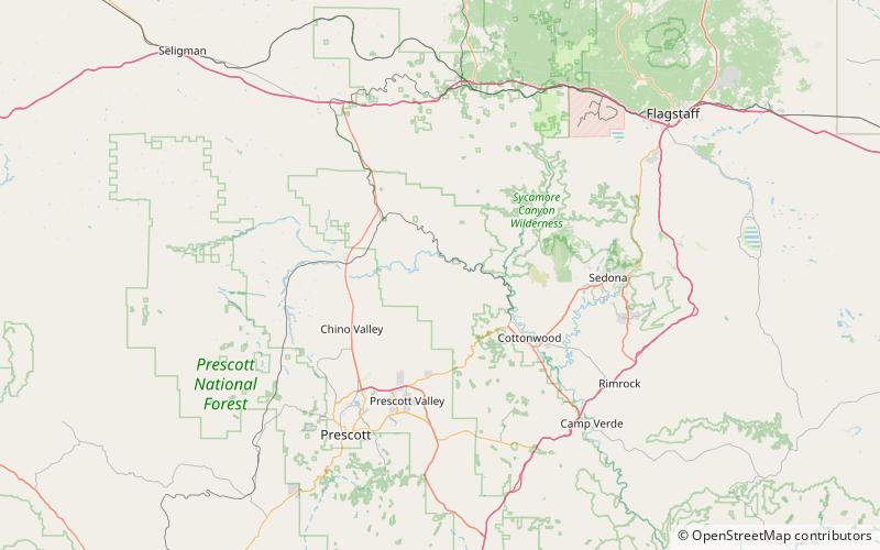
Lonesome Valley is a 23-mile long valley located in central-north Yavapai County, Arizona; the valley is an extension southeastwards from Chino Valley, the location of the Big Chino Wash, which becomes the Verde River at Paulden, Arizona; Paulden is located at the northwest terminus of Lonesome Valley. A small sub-valley is located on the northeast perimeter of Chino Valley, Arizona, located in the center-northwest of Lonesome Valley. The valley is named Little Chino Valley, and is the small valley link between Chino Valley, northwest, and Lonesome Valley, southeast. ()
Length: 23 miCoordinates: 34°52'8"N, 112°13'59"W
Address
Prescott National Forest
ContactAdd
Social media
Add
Day trips
Lonesome Valley – popular in the area (distance from the attraction)
Nearby attractions include: Perkinsville Bridge.
