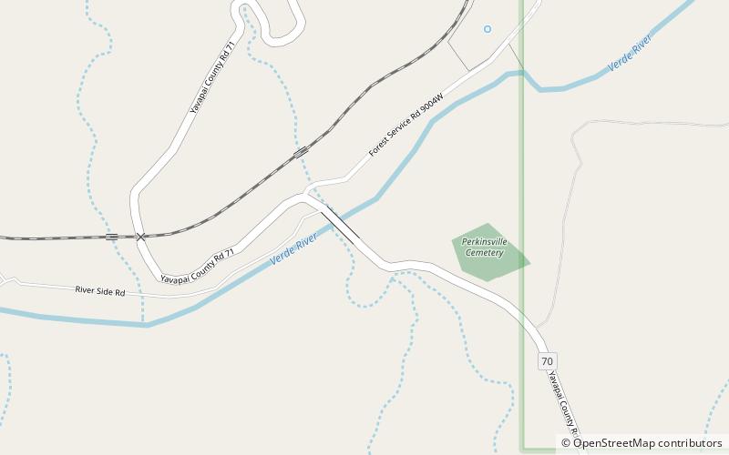
Perkinsville Bridge, Prescott National Forest
Map

Map

Facts and practical information
The Perkinsville Bridge over the Verde River was established in 1936 when it was moved from the San Carlos Indian Reservation over the Gila River. The current structure was constructed from spans of the San Carlos Bridge which was built in 1913 and then rebuilt in 1921 after damage due to flooding. It was listed on the National Register of Historic Places in 1989. ()
Completed: 1936 (90 years ago)Length: 330 ftWidth: 14 ftCoordinates: 34°53'43"N, 112°12'18"W
Address
Prescott National Forest
ContactAdd
Social media
Add
Day trips
Perkinsville Bridge – popular in the area (distance from the attraction)
Nearby attractions include: Lonesome Valley.

