Verdugo Mountains, Los Angeles
Map
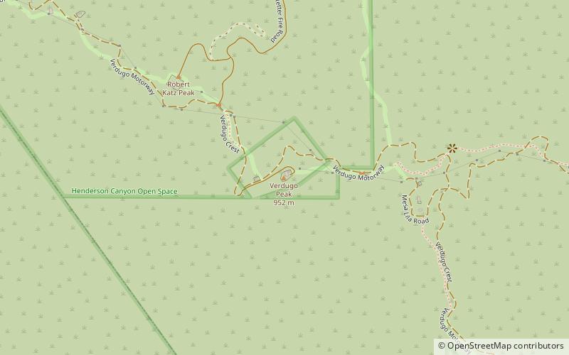
Map

Facts and practical information
The Verdugo Mountains, also known as the Verdugo Hills or simply The Verdugos, are a small, rugged mountain range of the Transverse Ranges system in Los Angeles County, California. Located just south of the western San Gabriel Mountains, the Verdugo Mountains region incorporates the cities of Glendale, Pasadena, and La Cañada Flintridge; the unincorporated communities of Altadena and La Crescenta-Montrose; as well as the City of Los Angeles neighborhood of Sunland-Tujunga. ()
Elevation: 3126 ftCoordinates: 34°12'54"N, 118°16'48"W
Address
Glendale (Brand Park)Los Angeles
ContactAdd
Social media
Add
Day trips
Verdugo Mountains – popular in the area (distance from the attraction)
Nearby attractions include: Burbank Town Center, Descanso Gardens, Equidome, Los Angeles Live Steamers Railroad Museum.
Frequently Asked Questions (FAQ)
How to get to Verdugo Mountains by public transport?
The nearest stations to Verdugo Mountains:
Bus
Bus
- LaCrescenta, CA - I-210 Fwy./Honolulu & Lowell • Lines: 19 (36 min walk)

 Metro & Regional Rail