Glendale, Los Angeles
Map
Gallery
Facts and practical information
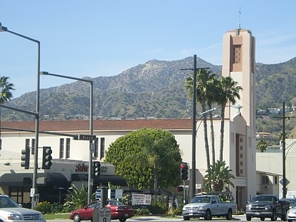
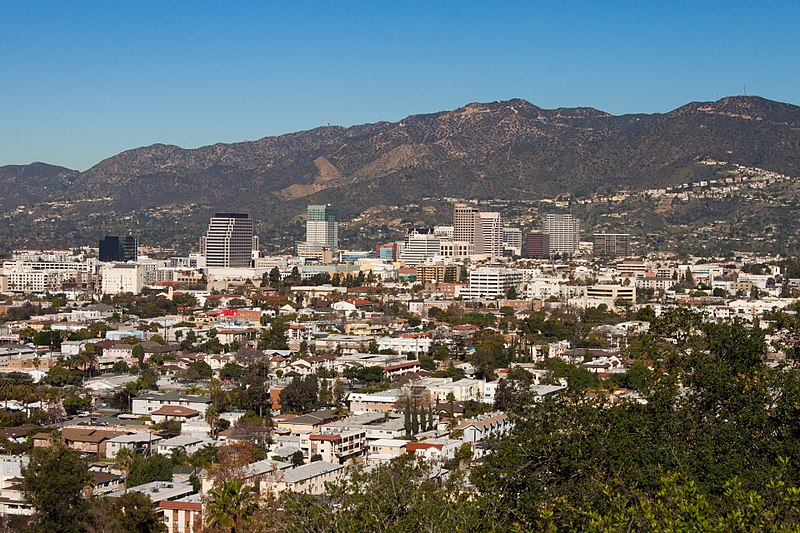
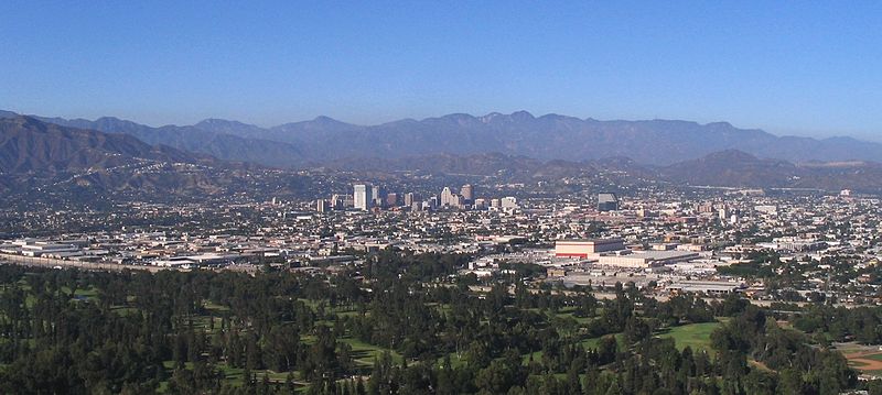
Glendale is a city in the San Fernando Valley and Verdugo Mountains regions of Los Angeles County, California. As of the 2020 U.S. Census the population was 196,543, up from 191,719 as of the 2010 census, making it the fourth-largest city in Los Angeles County and the 24th-largest city in California. It is located about 10 miles north of downtown Los Angeles. ()
Day trips
Glendale – popular in the area (distance from the attraction)
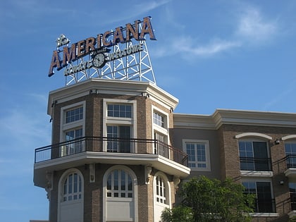
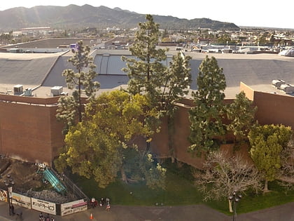
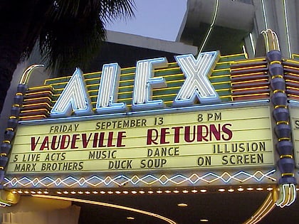
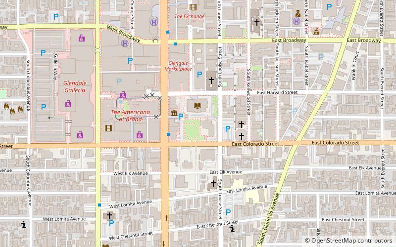
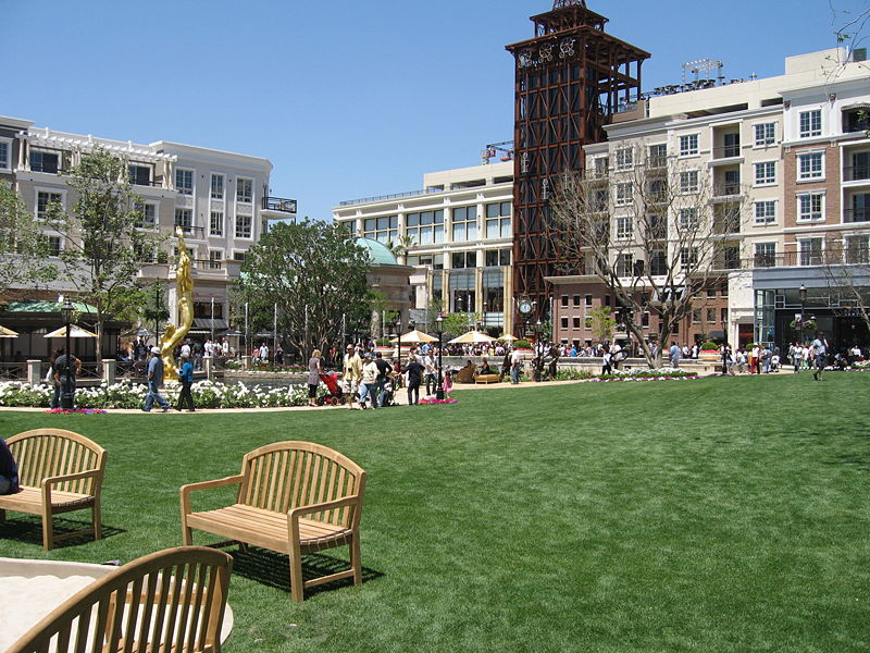
Nearby attractions include: The Americana at Brand, Glendale Galleria, Museum of Neon Art, Alex Theatre.
Frequently Asked Questions (FAQ)
Which popular attractions are close to Glendale?
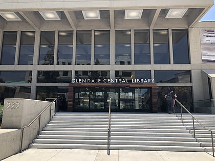
Nearby attractions include Museum of Neon Art, Los Angeles (2 min walk), Glendale Public Library, Burbank (3 min walk), Peace Monument of Glendale, Burbank (4 min walk), Holy Family Catholic Church, Los Angeles (7 min walk).
How to get to Glendale by public transport?
The nearest stations to Glendale:
Bus
Bus
- Brand & Colorado • Lines: 92 (4 min walk)
- Brand and Broadway • Lines: 92 (4 min walk)


 Metro & Regional Rail