Coyote Hills Regional Park, Fremont

Gallery (2)
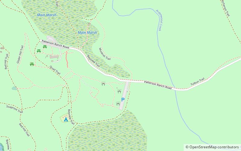
Map
Map
Gallery
Facts and practical information
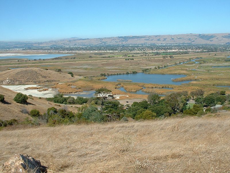
Coyote Hills Regional Park is a regional park encompassing nearly 978 acres of land and administered by the East Bay Regional Park District. The park, which was dedicated to public use in 1967, is located in Fremont, California, USA, on the southeast shore of the San Francisco Bay. The Coyote Hills themselves are a small range of hills at the edge of the bay; though not reaching any great height, they afford tremendous views of the bay, three of the trans-bay bridges, the cities of San Francisco and Oakland, the Peninsula Range of the Santa Cruz Mountains and Mount Tamalpais. In addition to the hills themselves, the park encloses a substantial area of wetlands. ()
Created: 1967Elevation: 10 ft a.s.l.Coordinates: 37°33'8"N, 122°5'10"W
Getting there by public transportation
Public transportation stops near this location
- Bus
 Bus
Bus
- Calculate route6574 Kaiser Drive 27 min walk
- Calculate routeUnion City Boulevard & Rocklin Drive 34 min walk
- Calculate routeRocklin Drive & Anaheim Loop 36 min walk
Day trips


Frequently Asked Questions (FAQ)
How to get to Coyote Hills Regional Park by public transport?
The nearest stations to Coyote Hills Regional Park:
Bus
Bus
- 6574 Kaiser Drive • Lines: Ae-F (27 min walk)
- Union City Boulevard & Rocklin Drive • Lines: 1, 9 (34 min walk)