Ault Park, Cincinnati
Map

Gallery

Facts and practical information
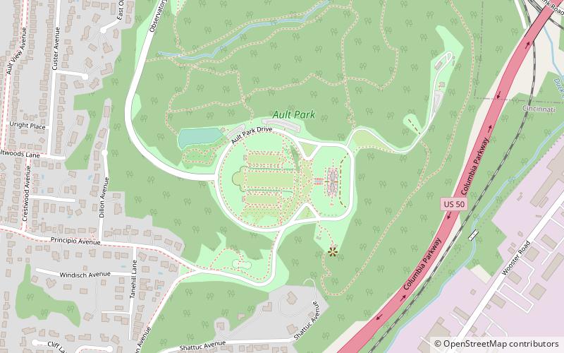
Ault Park is the fourth-largest park in Cincinnati at 223.949 acres, owned and operated by the Cincinnati Park Board. It lies in the Mount Lookout neighborhood on the city's east side. The hilltop park has an overlook which commands extensive panoramic views of the Little Miami River valley. ()
Created: 1911Elevation: 774 ft a.s.l.Coordinates: 39°7'59"N, 84°24'41"W
Address
5090 Observatory Cir.Mount LookoutCincinnati 45208
Contact
(513) 357-2604
Social media
Add
Day trips
Ault Park – popular in the area (distance from the attraction)
Nearby attractions include: Cincinnati Observatory, Stephen Decker Rowhouse, August Bepler House, Observatory Historic District.
Frequently Asked Questions (FAQ)
Which popular attractions are close to Ault Park?
Nearby attractions include Observatory Historic District, Cincinnati (18 min walk), Cincinnati Observatory, Cincinnati (19 min walk).
How to get to Ault Park by public transport?
The nearest stations to Ault Park:
Bus
Bus
- Eastern Avenue & Archer Avenue • Lines: 28 (14 min walk)


