Mount Lookout, Cincinnati

Map
Facts and practical information
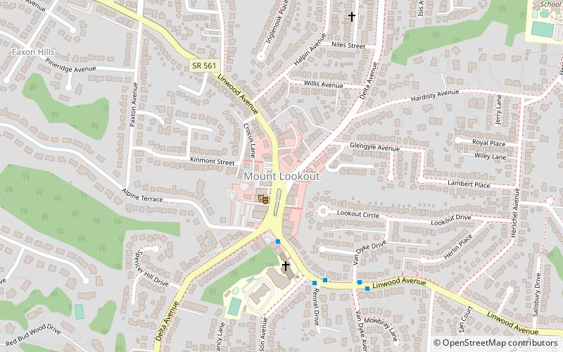
Mount Lookout, Ohio is one of the Eastern neighborhoods of Cincinnati, just northwest of Linwood and overlooking the Ohio River valley. The neighborhood is named for the Mount Lookout Observatory, which moved to the neighborhood in 1873. The population was 4,814 at the 2010 census. ()
Coordinates: 39°7'47"N, 84°25'48"W
Address
Mount LookoutCincinnati
ContactAdd
Social media
Add
Day trips
Mount Lookout – popular in the area (distance from the attraction)
Nearby attractions include: Cincinnati Observatory, Ault Park, Alms Park, Hyde Park Square.
Frequently Asked Questions (FAQ)
Which popular attractions are close to Mount Lookout?
Nearby attractions include Observatory Historic District, Cincinnati (17 min walk), Bernheim House, Cincinnati (19 min walk), Cincinnati Observatory, Cincinnati (20 min walk), Columbia-Tusculum, Cincinnati (24 min walk).
How to get to Mount Lookout by public transport?
The nearest stations to Mount Lookout:
Bus
Bus
- Mt Lookout Sq - Linwood Ave & Delta • Lines: 24 (3 min walk)
- Linwood Ave & Vandyke Ave • Lines: 24 (6 min walk)


