Arlington, Youngstown
Map

Map

Facts and practical information
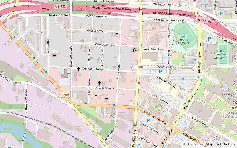
The Arlington Avenue Historic District is a historic district in Youngstown, Ohio, United States. It contained 38 contributing buildings when it was listed on the National Register of Historic Places in 1974. Due to various urban renewal projects beginning in the late 1970s, only two of the original structures remain today. ()
Coordinates: 41°6'30"N, 80°39'25"W
Address
ArlingtonYoungstown
ContactAdd
Social media
Add
Day trips
Arlington – popular in the area (distance from the attraction)
Nearby attractions include: Covelli Centre, Fellows Riverside Gardens, Butler Institute of American Art, Youngstown Foundation Amphitheatre.
Frequently Asked Questions (FAQ)
Which popular attractions are close to Arlington?
Nearby attractions include Union Baptist Church, Youngstown (3 min walk), Welsh Congregational Church, Youngstown (12 min walk), Stambaugh Auditorium, Youngstown (12 min walk), Powers Auditorium, Youngstown (12 min walk).
How to get to Arlington by public transport?
The nearest stations to Arlington:
Bus
Bus
- Youngstown Greyhound Station • Lines: 0010, 0011 (11 min walk)


