Upper East Side, New York City
Map
Gallery
Facts and practical information
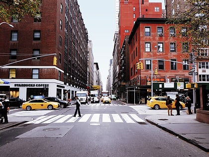
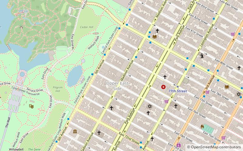
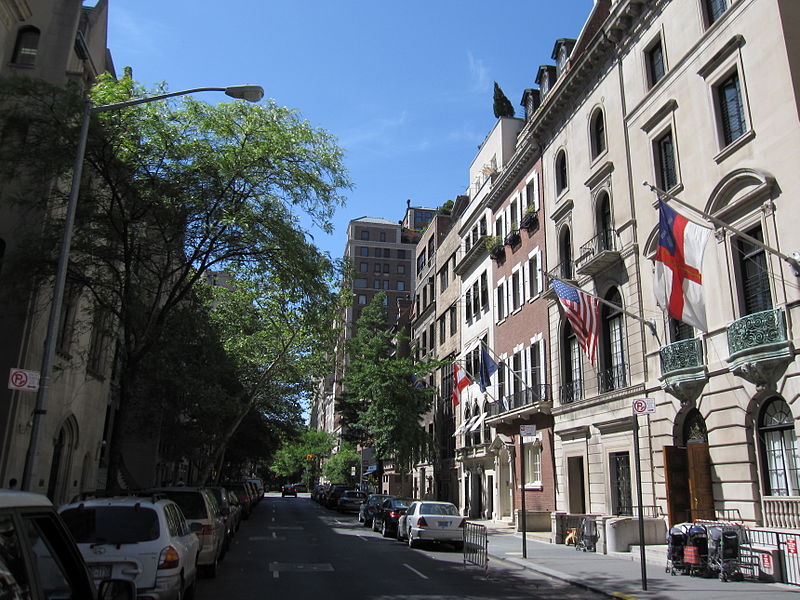
The Upper East Side, sometimes abbreviated UES, is a neighborhood in the borough of Manhattan in New York City, bounded by 96th Street to the north, the East River to the east, 59th Street to the south, and Central Park/Fifth Avenue to the west. The area incorporates several smaller neighborhoods, including Lenox Hill, Carnegie Hill, and Yorkville. Once known as the Silk Stocking District, it has long been the most affluent neighborhood in New York City. ()
Day trips
Upper East Side – popular in the area (distance from the attraction)
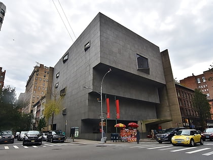
Nearby attractions include: Madison Avenue, The Met Breuer, Jan Hus Church, St. Monica Church.
Frequently Asked Questions (FAQ)
Which popular attractions are close to Upper East Side?
Nearby attractions include Lexington Avenue, New York City (3 min walk), St. Jean Baptiste Roman Catholic Church, New York City (3 min walk), Unitarian Church of All Souls, New York City (4 min walk), Temple Shaaray Tefila, New York City (5 min walk).
How to get to Upper East Side by public transport?
The nearest stations to Upper East Side:
Metro
Bus
Metro
- 77th Street • Lines: <6>, 4, 6 (3 min walk)
- 72nd Street • Lines: Q (9 min walk)
Bus
- East 79th Street & Lexington Avenue • Lines: M79 Sbs (3 min walk)
- 2 Av/E 78 St • Lines: M15, M15-Sbs (5 min walk)



 Subway
 Manhattan Buses