Carnegie Hill, New York City
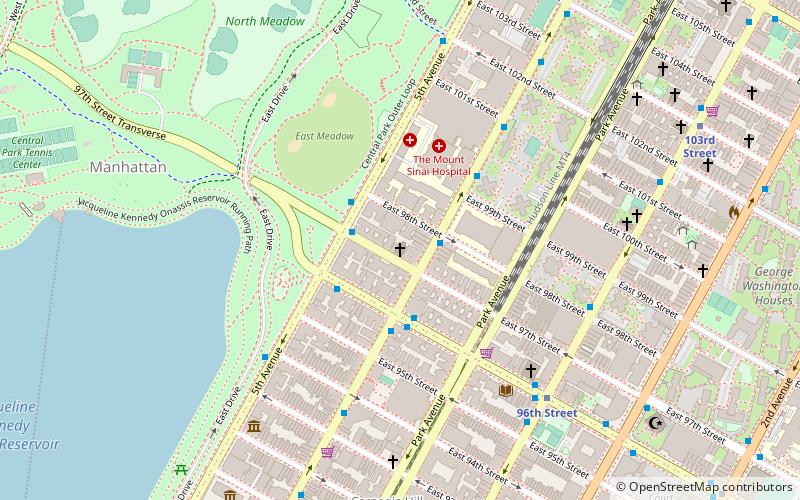
Map
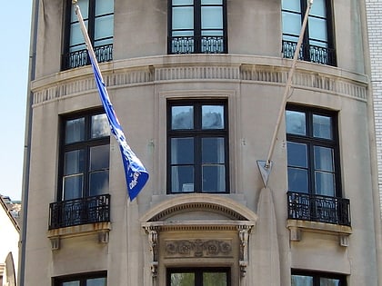
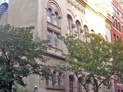
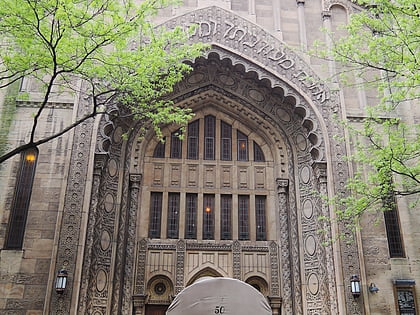
Gallery
Facts and practical information
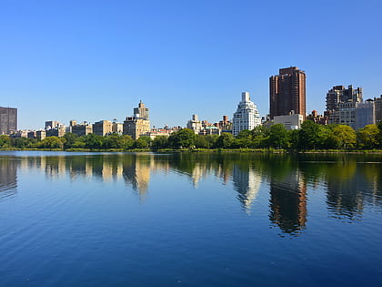
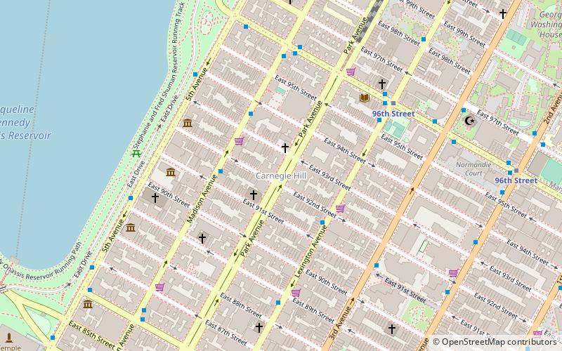
Carnegie Hill is a neighborhood within the Upper East Side, in the borough of Manhattan in New York City. Its boundaries are 86th Street on the south, Fifth Avenue on the west, with a northern boundary at 98th Street that continues just past Park Avenue and turns south to 96th Street and proceeds east up to, but not including, Third Avenue. The neighborhood is part of Manhattan Community District 8. ()
Address
Upper Manhattan (Upper East Side)New York City
ContactAdd
Social media
Add
Day trips
Carnegie Hill – popular in the area (distance from the attraction)
Nearby attractions include: Metropolitan Museum of Art, Solomon R. Guggenheim Museum, The Jewish Museum, Jacqueline Kennedy Onassis Reservoir.
Frequently Asked Questions (FAQ)
Which popular attractions are close to Carnegie Hill?
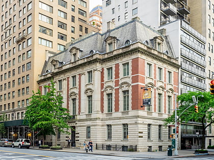
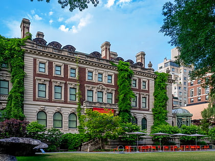
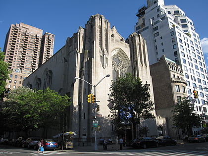
Nearby attractions include Francis F. Palmer House, New York City (2 min walk), Brick Presbyterian Church, New York City (2 min walk), 92nd Street Y, New York City (3 min walk), St. Thomas More Church, New York City (5 min walk).
How to get to Carnegie Hill by public transport?
The nearest stations to Carnegie Hill:
Metro
Bus
Metro
- 96th Street • Lines: <6>, 4, 6, Q (10 min walk)
- 86th Street • Lines: <6>, 4, 5, 6, Q (10 min walk)
Bus
- East 96th Street & Madison Avenue • Lines: M96 (6 min walk)
- East 96th Street & 5th Avenue • Lines: M106, M96 (7 min walk)

 Subway
 Manhattan Buses


