Doheny State Beach, Dana Point

Gallery (1)
Map
Map
Facts and practical information
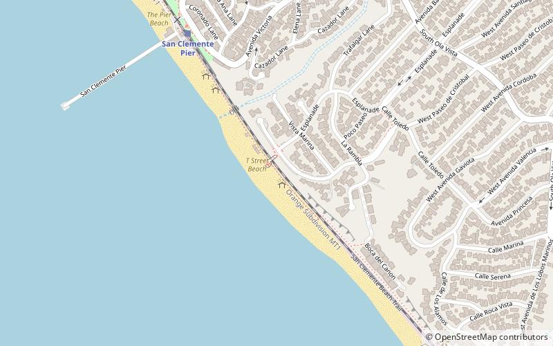
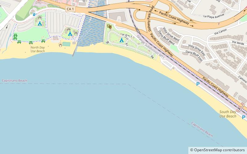
Doheny State Beach is a protected beach in the state park system of California, United States, located on the Pacific Ocean in the city of Dana Point. The beach is a popular surf spot located at the mouth of San Juan Creek, which flows from the Santa Ana Mountains southwest to the beach, where it forms a fresh-water lagoon. It is also one of the most polluted beaches in Southern California. ()
Established: 1931 (95 years ago)Visitors per year: 850 thous.Coordinates: 33°27'37"N, 117°40'52"W
Day trips