Santa Clarita City Hall, Santa Clarita

Facts and practical information
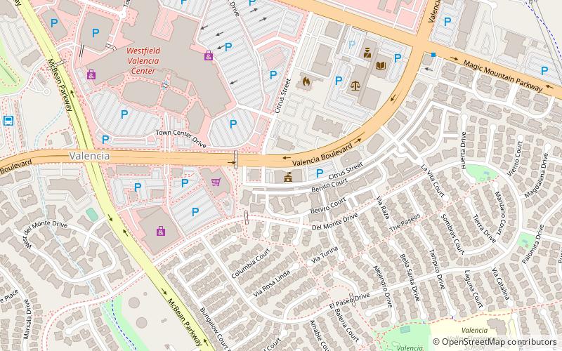
Santa Clarita City Hall (address: 23920 Valencia Blvd) is a place located in Santa Clarita (California state) and belongs to the category of city hall.
It is situated at an altitude of 1152 feet, and its geographical coordinates are 34°24'46"N latitude and 118°33'14"W longitude.
Planning a visit to this place, one can easily and conveniently get there by public transportation. Santa Clarita City Hall is a short distance from the following public transport stations: McBean Regional Transit Station (bus, 13 min walk).
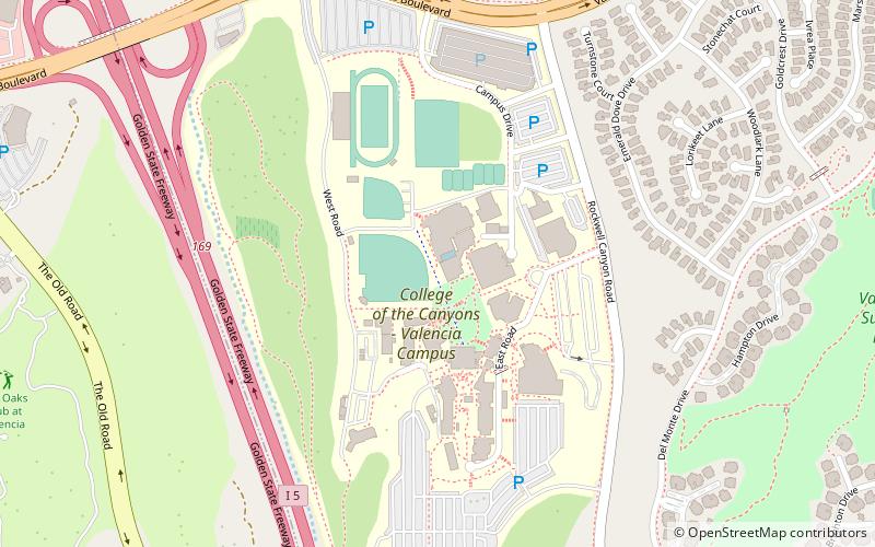
Among other places and attractions worth visiting in the area are: Westfield Valencia Town Center (shopping, 8 min walk), College of the Canyons (universities and schools, 28 min walk), Soledad Canyon (nature, 28 min walk).
- Bus
 Bus
Bus
- Calculate routeMcBean Regional Transit Station 13 min walk
Santa Clarita City Hall – popular in the area (distance from the attraction)
Nearby attractions include: Westfield Valencia Town Center, San Francisquito Canyon, Soledad Canyon, College of the Canyons.


Frequently Asked Questions (FAQ)
How to get to Santa Clarita City Hall by public transport?
Bus
- McBean Regional Transit Station (13 min walk)