Simmons Tower, Little Rock

Gallery (1)
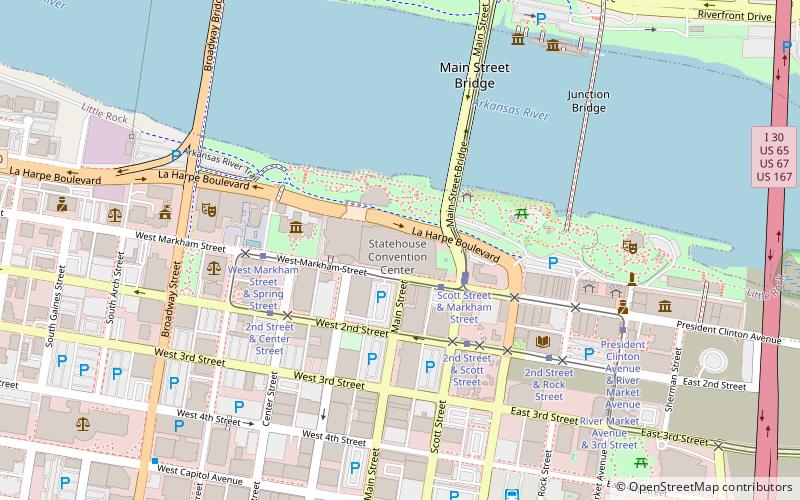
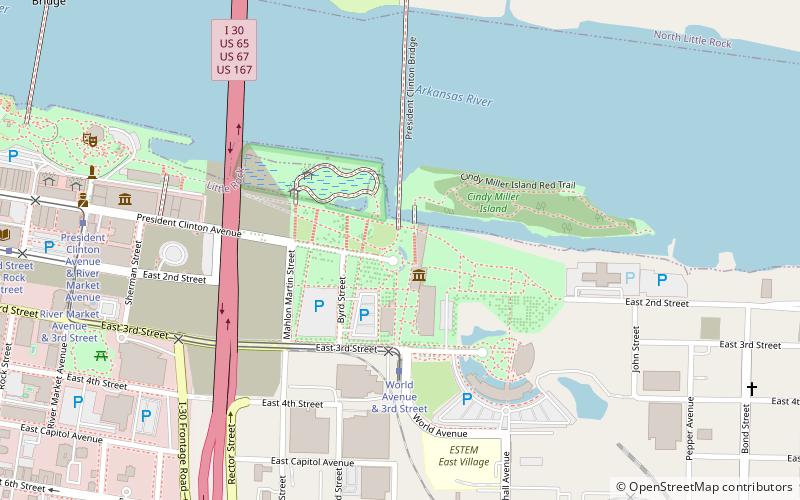
Map

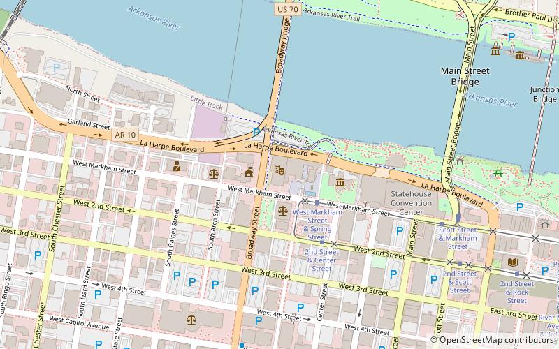
Map
Facts and practical information
Simmons Bank Tower is a 40-story skyscraper located at 425 West Capitol Avenue in downtown Little Rock, Arkansas. At 547 feet high, it is the tallest building in Arkansas. ()
Alternative names: Opened: 1986 (39 years ago)Architectural style: ModernFloors: 40Coordinates: 34°44'38"N, 92°16'32"W
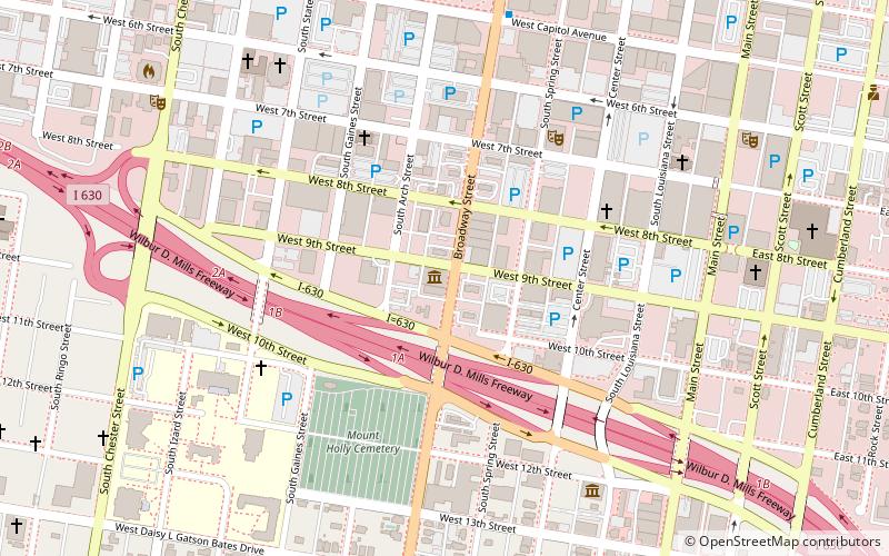
Address
Downtown Little RockLittle Rock
ContactAdd
Social media
Add
Getting there by public transportation
Public transportation stops near this location
- Bus
- Tram
- Train
 Bus
Bus
- Calculate route2nd Street & Center Street 8 min walk
- Calculate routeWest Markham Street & Scott Street 12 min walk
- Calculate routeCentral Arkansas Transit Authority Bus Terminal 11 min walk
- Calculate routeGreyhound.. Little Rock. AR 22 min walk
- Calculate routeLittle Rock 21 min walk
Day trips


Frequently Asked Questions (FAQ)
Which popular attractions are close to Simmons Tower?
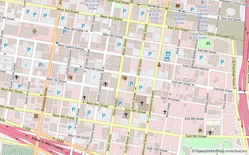
Nearby attractions include First Missionary Baptist Church, Little Rock (4 min walk), Capitol–Main Historic District, Little Rock (5 min walk), First United Methodist Church, Little Rock (5 min walk), Matt McLeod Fine Art Gallery, Little Rock (6 min walk).
How to get to Simmons Tower by public transport?
The nearest stations to Simmons Tower:
Tram
Bus
Train
Tram
- 2nd Street & Center Street • Lines: Blue, Green (8 min walk)
- West Markham Street & Scott Street • Lines: Blue, Green (12 min walk)
Bus
- Central Arkansas Transit Authority Bus Terminal (11 min walk)
- Greyhound.. Little Rock. AR (22 min walk)
Train
- Little Rock (21 min walk)