Harsimus, Jersey City
Facts and practical information
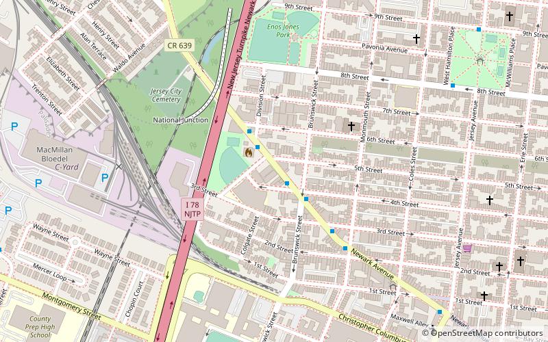
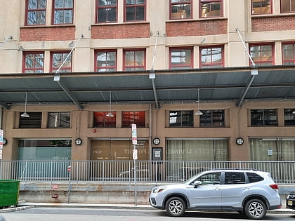
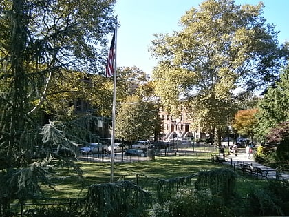
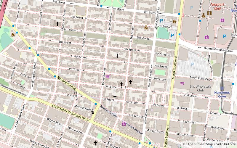
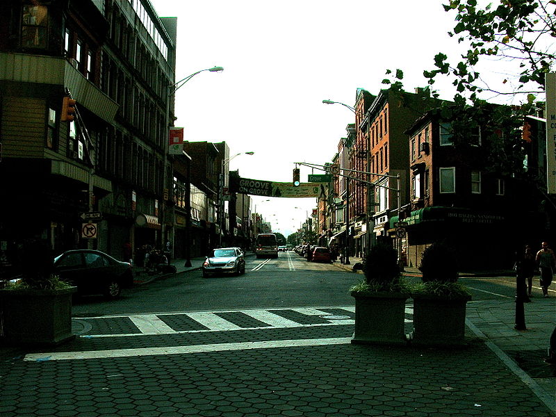
Harsimus is a neighborhood within Downtown Jersey City, Hudson County, New Jersey, United States. The neighborhood stretches from the Harsimus Stem Embankment on the north to Christopher Columbus Drive on the south between Coles Street and Grove Street or more broadly, to Marin Boulevard. It borders the neighborhoods of Hamilton Park to the north, Van Vorst Park to the south, the Village to the west, and the Powerhouse Arts District to the east. Newark Avenue has traditionally been its main street. The name is from the Lenape, used by the Hackensack Indians who inhabited the region and could be translated as Crow’s Marsh. From many years, the neighborhood was part of the "Horseshoe", a political delineation created by its position between the converging rail lines and political gerrymandering. ()
Downtown Jersey CityJersey City
Harsimus – popular in the area (distance from the attraction)
Nearby attractions include: Newport Centre, White Eagle Hall, Headroom LGBTQ+ Lounge, Museum of Russian Art.
Frequently Asked Questions (FAQ)
Which popular attractions are close to Harsimus?
How to get to Harsimus by public transport?
Bus
- Marin Boulevard at Thomas Gengemi Drive • Lines: 126 (8 min walk)
- Hamilton Park • Lines: 126 (8 min walk)
Metro
- Grove Street • Lines: Jsq–33, JSQ–33 via HOB, Nwk–Wtc (8 min walk)
- Newport • Lines: Hob–Wtc, Jsq–33, JSQ–33 via HOB (14 min walk)
Light rail
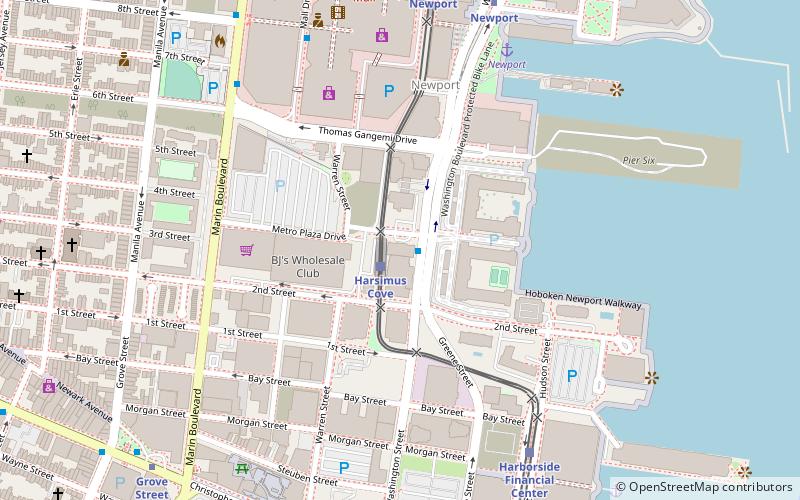
- Harsimus Cove • Lines: Hblr (11 min walk)
- Newport • Lines: Hblr (14 min walk)
Ferry
- Liberty Harbor Marin Boulevard (22 min walk)
- Warren Street (23 min walk)
Train
- Hoboken Terminal (31 min walk)


