Center for Land Use Interpretation, Los Angeles

Facts and practical information
The Center for Land Use Interpretation is a non-profit research and education organization involved in exploring, examining, and understanding contemporary landscape issues in the United States. Founded in 1994, the CLUI organizes exhibitions, programs, field trips, and maintains an online archive and database to engage the public's understanding of the man-made landscape, and extent and impacts of human interactions with the surface of the earth. The Center employs a variety of methods to this end, engaging in research, classification, extrapolation, and exhibition. ()
Center for Land Use Interpretation – popular in the area (distance from the attraction)
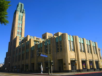
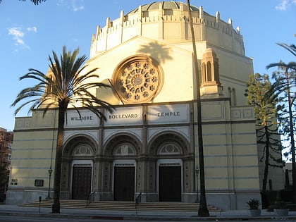
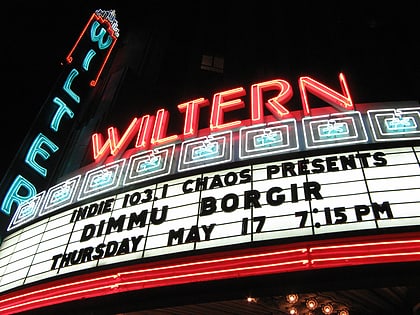
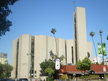
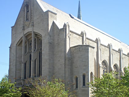
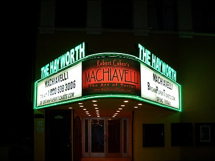
Nearby attractions include: Bullocks Wilshire, Wilshire Boulevard Temple, The Wiltern, Chapman Plaza.
Frequently Asked Questions (FAQ)
Which popular attractions are close to Center for Land Use Interpretation?
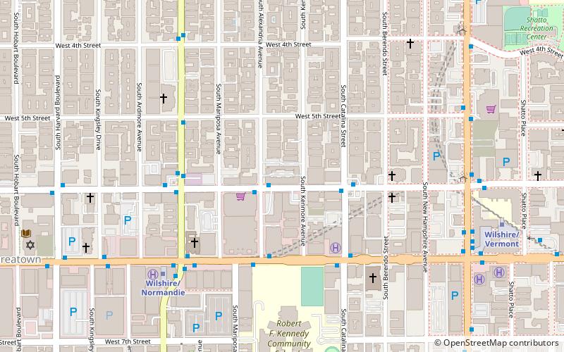
How to get to Center for Land Use Interpretation by public transport?
Bus
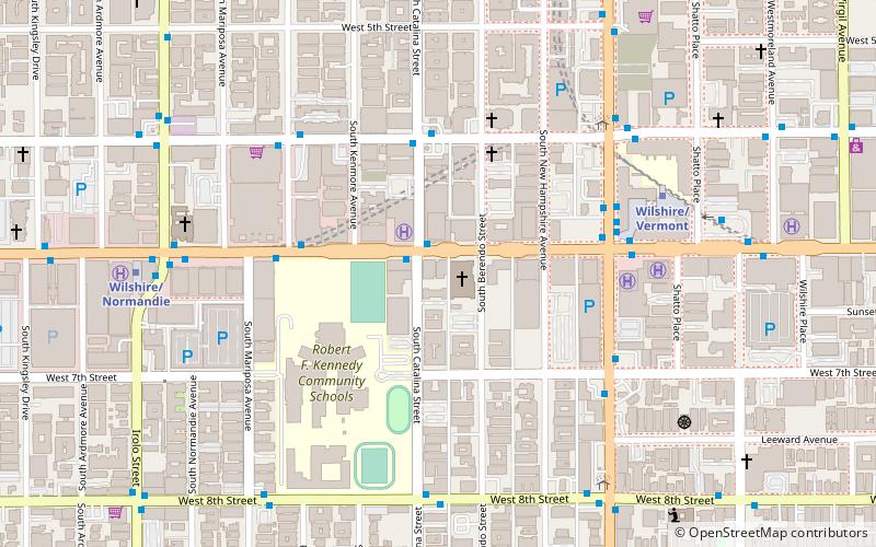
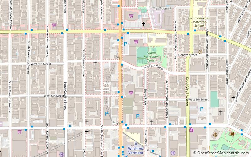
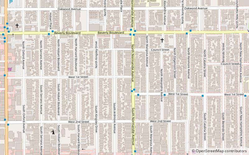
- 1st & Normandie • Lines: Wilshire Center/Koreatown (3 min walk)
- 3rd & Normandie • Lines: Wilshire Center/Koreatown (9 min walk)
Metro
- Vermont/Beverly • Lines: B (15 min walk)
- Wilshire/Normandie • Lines: D (22 min walk)

 Metro & Regional Rail