Islamic Center of Southern California, Los Angeles
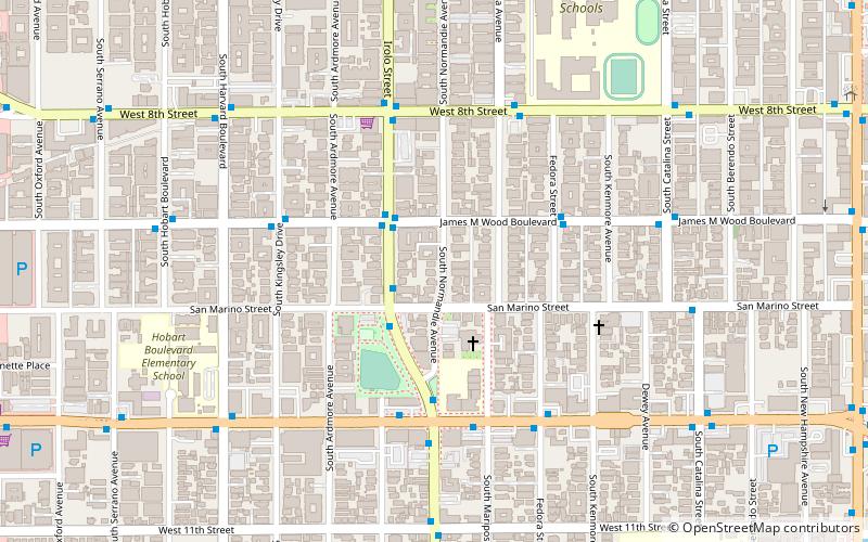
Map
Facts and practical information
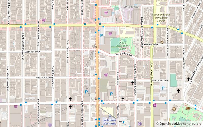
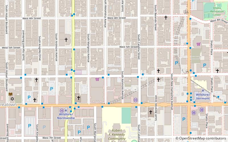
The Islamic Center of Southern California is a mosque and Islamic cultural center in Los Angeles. It is located on Vermont Avenue adjacent to the Chinese Consulate General. It is one of the largest mosques in Southern California with thousands praying there every Friday. ()
Architectural style: Islamic architectureCoordinates: 34°3'59"N, 118°17'29"W
Address
Central Los Angeles (Rampart Village)Los Angeles
ContactAdd
Social media
Add
Getting there by public transportation
Public transportation stops near this location
- Metro
- Bus
 Metro
Metro
- Calculate routeVermont & 5th 2 min walk
- Calculate routeVermont & 4th 2 min walk
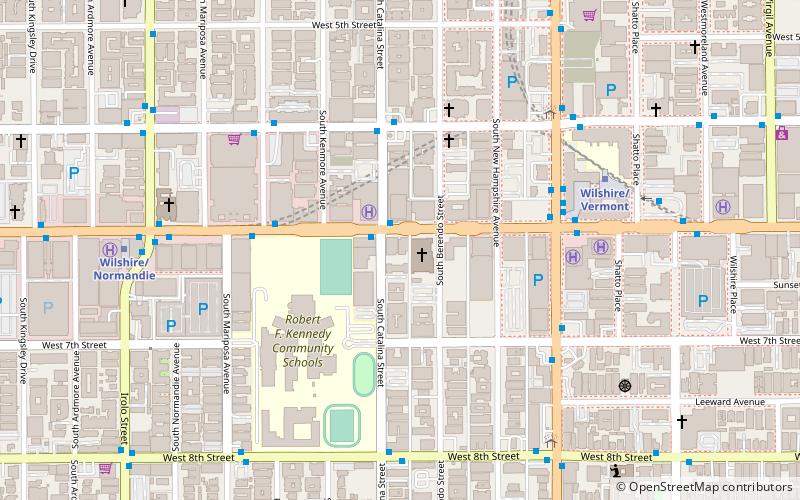
- Calculate routeWilshire/Vermont 7 min walk
- Calculate routeWilshire/Normandie 17 min walk
- Calculate routeVermont/Beverly 19 min walk
Maps Metro & Regional Rail
Metro & Regional RailDay trips


Frequently Asked Questions (FAQ)
Which popular attractions are close to Islamic Center of Southern California?
Nearby attractions include The Talmadge, Los Angeles (10 min walk), First Congregational Church of Los Angeles, Los Angeles (10 min walk), Chapman Plaza, Los Angeles (10 min walk), Immanuel Presbyterian Church, Los Angeles (11 min walk).
How to get to Islamic Center of Southern California by public transport?
The nearest stations to Islamic Center of Southern California:
Bus
Metro
Bus
- Vermont & 5th • Lines: Wilshire Center/Koreatown (2 min walk)
- Vermont & 4th • Lines: 204, Wilshire Center/Koreatown (2 min walk)
Metro
- Wilshire/Vermont • Lines: B, D (7 min walk)
- Wilshire/Normandie • Lines: D (17 min walk)