Boise, Portland
Map

Map

Facts and practical information
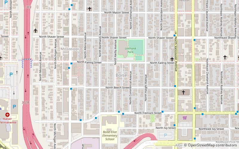
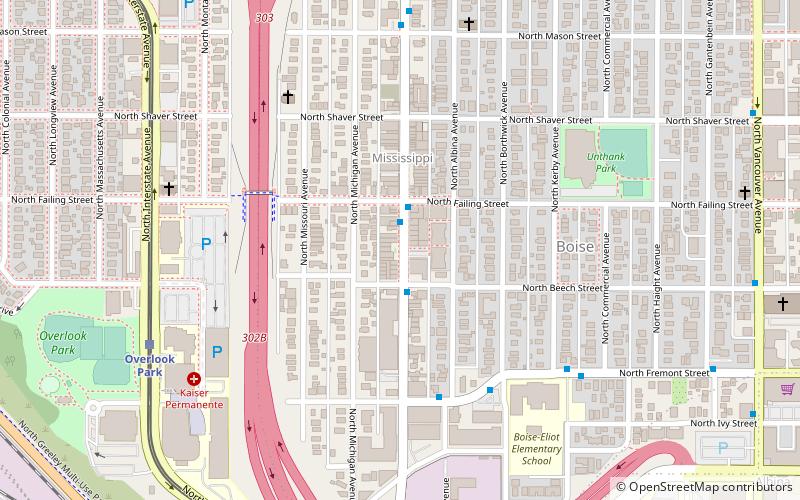
Boise is a neighborhood in the North and Northeast sections of Portland, Oregon. It is approximately bounded by Interstate 5 on the west, N Skidmore St. on the north, NE Rodney Ave. on the east, and N Kerby St. and NE Fremont St. on the south. The southern portion of N Mississippi Ave. forms the commercial core of the area. The neighborhood was named in honor of Reuben P. Boise, a Portland School Board member during the 1850s. ()
Coordinates: 45°33'1"N, 122°40'19"W
Day trips
Boise – popular in the area (distance from the attraction)
Nearby attractions include: Mississippi Studios, Lloyd Center, Portland Museum of Modern Art, Vancouver Avenue First Baptist Church.
Frequently Asked Questions (FAQ)
Which popular attractions are close to Boise?
Nearby attractions include DeNorval Unthank Park, Portland (3 min walk), Land Gallery, Portland (6 min walk), John Palmer House, Portland (10 min walk), Vancouver Avenue First Baptist Church, Portland (10 min walk).
How to get to Boise by public transport?
The nearest stations to Boise:
Bus
Light rail
Tram
Bus
- North Fremont & Kerby • Lines: 4 (4 min walk)
- North Mississippi & Beech • Lines: 4 (5 min walk)
Light rail
- Overlook Park • Lines: Yellow (12 min walk)
- North Prescott Street • Lines: Yellow (16 min walk)
Tram
- North Broadway & Ross • Lines: B (28 min walk)
- North Weidler & Ross • Lines: A (28 min walk)


