Mount Starr King, White Mountain National Forest
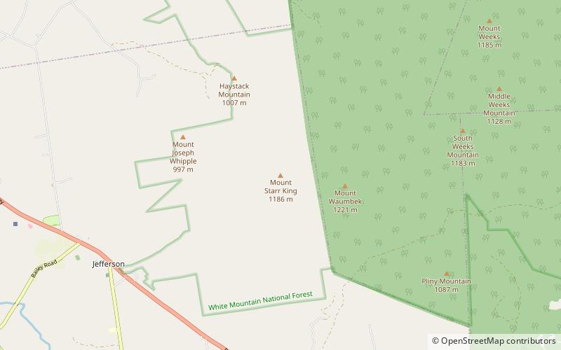
Map
Facts and practical information
Mount Starr King is a mountain located in Coos County, New Hampshire. The mountain is named after Thomas Starr King, and is part of the Pliny Range of the White Mountains. Mt. Starr King is flanked to the east by Mount Waumbek, and to the northwest by Haystack Mountain. Starr King is drained by various brooks into the Israel River, and thence into the Connecticut River and Long Island Sound. ()
Elevation: 3907 ftProminence: 164 ftCoordinates: 44°26'4"N, 71°25'58"W
Address
White Mountain National Forest
ContactAdd
Social media
Add
Day trips
Mount Starr King – popular in the area (distance from the attraction)
Nearby attractions include: Santa's Village, Mount Cabot, Mount Waumbek, Mount Weeks.

