Pilot Range, White Mountain National Forest
Map
Facts and practical information
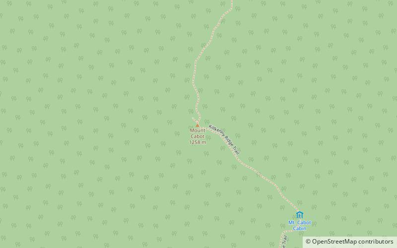
The Pilot Range is located in the White Mountains of New Hampshire in the United States. The Pilot Range extends southeast-northwest about 15 miles. The highest peak in the range is Mount Cabot, with an elevation of 4,160 feet. ()
Maximum elevation: 4160 ftCoordinates: 44°30'13"N, 71°24'31"W
Address
White Mountain National Forest
ContactAdd
Social media
Add
Day trips
Pilot Range – popular in the area (distance from the attraction)
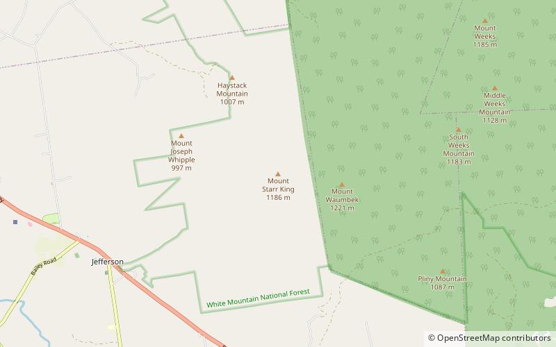
Nearby attractions include: Santa's Village, The Horn, Mount Cabot, Mount Starr King.
Frequently Asked Questions (FAQ)
Which popular attractions are close to Pilot Range?
Nearby attractions include Mount Cabot, White Mountain National Forest (9 min walk), The Bulge, White Mountain National Forest (19 min walk).


