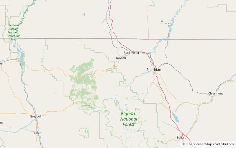
Tongue Butte, Bighorn National Forest

Map
Facts and practical information
Tongue Butte is a summit in Sheridan County, Wyoming, in the United States. With an elevation of 7,946 feet, Tongue Butte is the 885th tallest mountain in Wyoming. ()
Coordinates: 44°46'3"N, 107°17'24"W
Address
Bighorn National Forest
ContactAdd
Social media
Add
Day trips
Tongue Butte – popular in the area (distance from the attraction)
Nearby attractions include: Tongue River Cave.
