Cleveland Park, Greenville
Map

Map

Facts and practical information
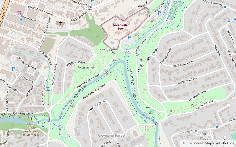
Cleveland Park is the largest park in Greenville, South Carolina, much of its more than 120 acres being greenway along Richland Creek and the Reedy River near the city's "most elegant neighborhoods." ()
Elevation: 863 ft a.s.l.Coordinates: 34°50'39"N, 82°23'17"W
Address
Cleveland Park DrSouth Side (Augusta Street Area)Greenville 29607
ContactAdd
Social media
Add
Day trips
Cleveland Park – popular in the area (distance from the attraction)
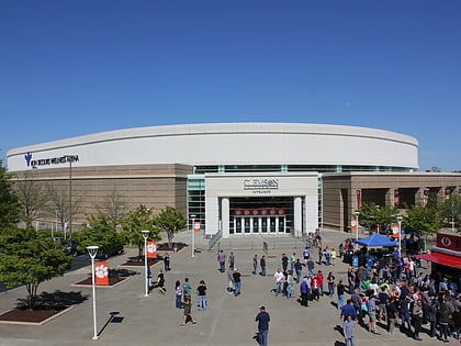
Nearby attractions include: Bon Secours Wellness Arena, Fluor Field at the West End, Greenville Zoo, Reedy River Falls.
Frequently Asked Questions (FAQ)
Which popular attractions are close to Cleveland Park?
Nearby attractions include Greenville Zoo, Greenville (8 min walk), McDaniel Park, Greenville (8 min walk), Museum & Library of Confederate History, Greenville (11 min walk), Pettigru Street Historic District, Greenville (11 min walk).
How to get to Cleveland Park by public transport?
The nearest stations to Cleveland Park:
Bus
Bus
- Washington St @ Toy Street • Lines: 1A, 8H (8 min walk)
- Greenville Zoo • Lines: 1A, 8H (12 min walk)


