South Los Angeles, Los Angeles
Map

Map

Facts and practical information
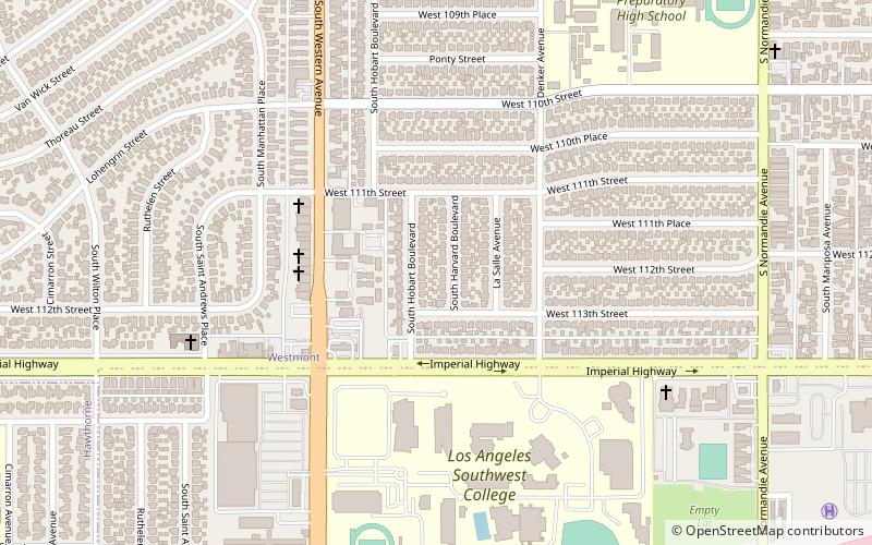
South Los Angeles, also known as South Central Los Angeles, is a region in southern Los Angeles County, lying mostly within the city limits of Los Angeles, south of downtown. It is "defined on Los Angeles city maps as a 16-square-mile rectangle with two prongs at the south end.” In 2003, the Los Angeles City Council renamed this area "South Los Angeles". ()
Day trips
South Los Angeles – popular in the area (distance from the attraction)
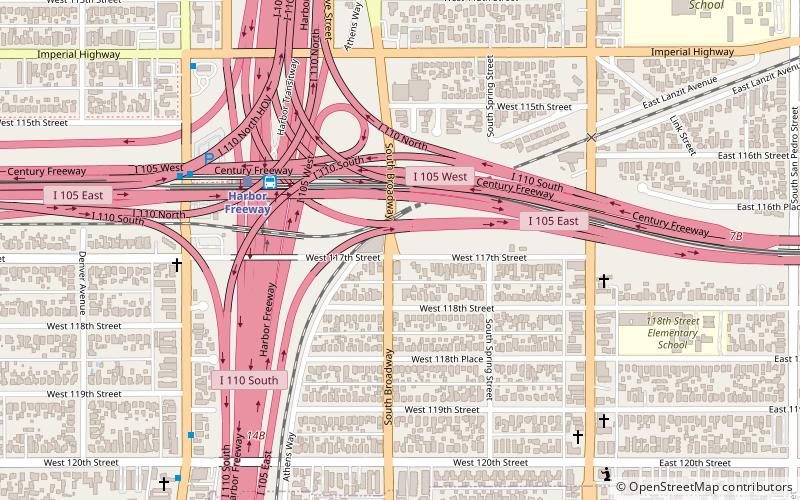
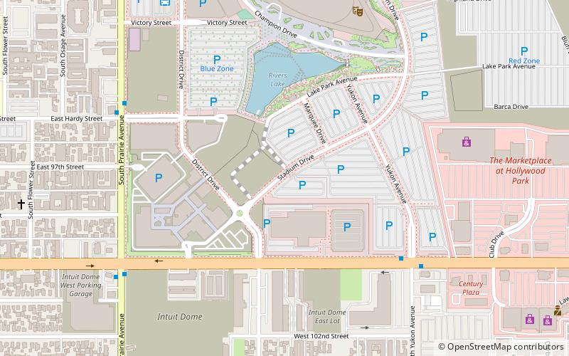
Nearby attractions include: Watts Towers, Judge Harry Pregerson Interchange, Hollywood Park Casino, Lynwood.
Frequently Asked Questions (FAQ)
How to get to South Los Angeles by public transport?
The nearest stations to South Los Angeles:
Bus
Light rail
Bus
- Harbor Freeway (5 min walk)
- Figueroa/Harbor Freeway • Lines: 1 (7 min walk)
Light rail
- Harbor Freeway • Lines: C (6 min walk)
- Avalon • Lines: C (19 min walk)

 Metro & Regional Rail


