Rosecrans Hills, Los Angeles
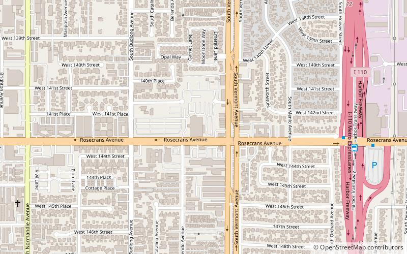
Map
Facts and practical information
The Rosecrans Hills are a low range of hills in the Transverse Ranges, in the South Los Angeles region of Los Angeles County, California. ()
Coordinates: 33°55'57"N, 118°18'24"W
Address
South Los Angeles (Westmont)Los Angeles
ContactAdd
Social media
Add
Getting there by public transportation
Public transportation stops near this location
- Bus
- Light rail
 Bus
Bus
- Calculate routeVermont & Imperial 23 min walk
- Calculate routeVermont & 110th 23 min walk
- Calculate routeVermont/Athens Station 23 min walk
- Calculate routeVermont/Athens 23 min walk
- Calculate routeCrenshaw 32 min walk
Maps Metro & Regional Rail
Metro & Regional RailDay trips


Frequently Asked Questions (FAQ)
How to get to Rosecrans Hills by public transport?
The nearest stations to Rosecrans Hills:
Bus
Light rail
Bus
- Vermont & Imperial • Lines: 204, 206 (23 min walk)
- Vermont & 110th • Lines: 204 (23 min walk)
Light rail
- Vermont/Athens • Lines: C (23 min walk)
- Crenshaw • Lines: C (32 min walk)