Capitol Theatre, Rome
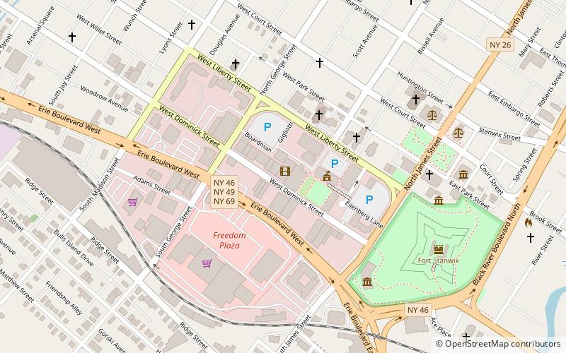
Map

Map

Facts and practical information
The Capitol Theatre is a theatre operating in Rome, New York. It opened December 10, 1928 as part of the Kallet chain of movie houses, presenting first run films until it closed in 1974. After extensive renovation, the theatre re-opened in 1985 as the non-profit Capitol Civic Center, offering classic films, live theatrical performances, and concerts. ()
Coordinates: 43°12'44"N, 75°27'36"W
Day trips
Capitol Theatre – popular in the area (distance from the attraction)
Nearby attractions include: Fort Stanwix, First Methodist Episcopal Church of Rome, Zion Church, Jervis Public Library.
Frequently Asked Questions (FAQ)
Which popular attractions are close to Capitol Theatre?
Nearby attractions include Zion Church, Rome (4 min walk), Gansevoort–Bellamy Historic District, Rome (6 min walk), Fort Stanwix, Rome (7 min walk), First Methodist Episcopal Church of Rome, Rome (8 min walk).
How to get to Capitol Theatre by public transport?
The nearest stations to Capitol Theatre:
Train
Train
- Rome (26 min walk)

 Metro / Tram / Rail


