Gansevoort–Bellamy Historic District, Rome
Map

Map

Facts and practical information
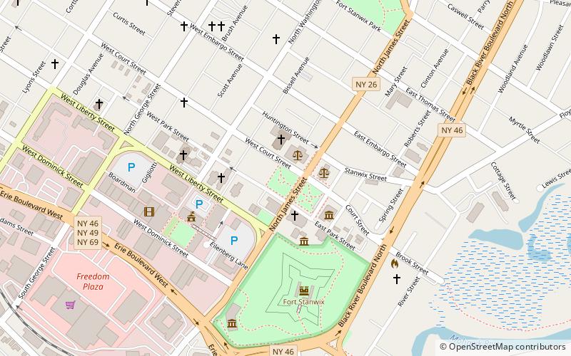
Gansevoort–Bellamy Historic District is a national historic district located at Rome in Oneida County, New York, USA. The district includes ten contributing buildings, two contributing structures and two contributing objects. Located within the district are the former Rome City Hall, U.S. Post Office, Oneida County Courthouse and St. Peter's Catholic Church. ()
Coordinates: 43°12'47"N, 75°27'21"W
Address
Rome
ContactAdd
Social media
Add
Day trips
Gansevoort–Bellamy Historic District – popular in the area (distance from the attraction)
Nearby attractions include: Fort Stanwix, First Methodist Episcopal Church of Rome, Capitol Theatre, Zion Church.
Frequently Asked Questions (FAQ)
Which popular attractions are close to Gansevoort–Bellamy Historic District?
Nearby attractions include Zion Church, Rome (3 min walk), Fort Stanwix, Rome (5 min walk), Capitol Theatre, Rome (6 min walk), First Methodist Episcopal Church of Rome, Rome (7 min walk).
How to get to Gansevoort–Bellamy Historic District by public transport?
The nearest stations to Gansevoort–Bellamy Historic District:
Train
Train
- Rome (25 min walk)

 Metro / Tram / Rail


