Pentagon City, Arlington
Map

Gallery

Facts and practical information
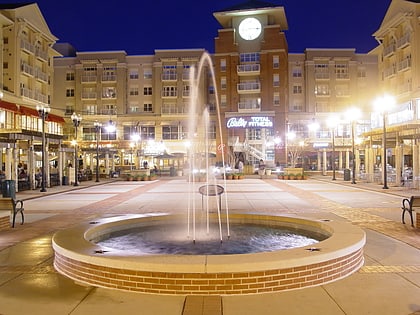
Pentagon City is an unincorporated neighborhood located in the southeast portion of Arlington County, Virginia, near The Pentagon and Arlington National Cemetery. ()
Coordinates: 38°51'42"N, 77°3'27"W
Address
South Arlington (Aurora Highlands)Arlington
ContactAdd
Social media
Add
Day trips
Pentagon City – popular in the area (distance from the attraction)
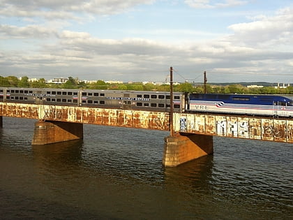
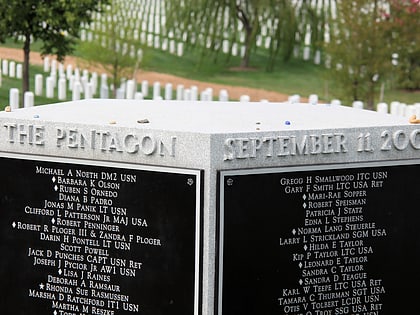
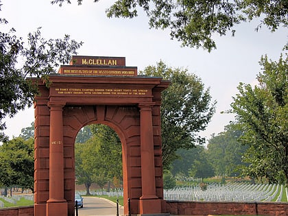
Nearby attractions include: Fashion Centre at Pentagon City, Tomb of the Unknown Soldier, Pentagon Memorial, Long Bridge.
Frequently Asked Questions (FAQ)
Which popular attractions are close to Pentagon City?
Nearby attractions include Dea Museum and Visitors Center, Arlington (5 min walk), Grace Murray Hopper Park, Arlington (9 min walk), Aurora Highlands Historic District, Arlington (10 min walk), Hume School, Arlington (15 min walk).
How to get to Pentagon City by public transport?
The nearest stations to Pentagon City:
Bus
Metro
Train
Bus
- Pentagon City Metro • Lines: 10A, 10N, 16E, 16G, 16H, 22A, 599, 7A, 7F, 84, Mw1 (4 min walk)
- Army Navy Dr at S Fern St • Lines: 42, 87, 87A, 87P (7 min walk)
Metro
- Pentagon City • Lines: Bl, Yl (4 min walk)
- Crystal City • Lines: Bl, Yl (13 min walk)
Train
- Crystal City (14 min walk)


