Little Missouri Falls, Ouachita National Forest

Map
Facts and practical information
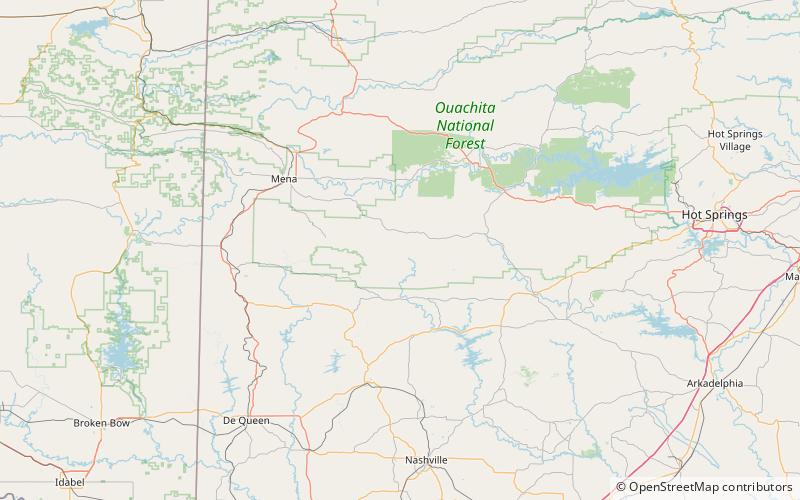
The Little Missouri Falls is a sizable waterfall on the upper reaches of the Little Missouri River in southwest Arkansas in the Ouachita National Forest. It is a stairstep fall in a deep gorge. The falls can be reached by an all-weather gravel road, and there is a parking area with restrooms and a paved trail leading to observation sites. Water flow is greatest during the winter and spring months. ()
Elevation: 1184 ft a.s.l.Coordinates: 34°25'21"N, 93°55'11"W
Address
Ouachita National Forest
ContactAdd
Social media
Add
Day trips
Little Missouri Falls – popular in the area (distance from the attraction)
Nearby attractions include: Albert Pike Recreation Area, Bard Springs Dam No. 2, Bard Springs Dam No. 1, Bard Springs Bathhouse.


