Albert Pike Recreation Area, Ouachita National Forest

Gallery (1)
Map
Map
Facts and practical information
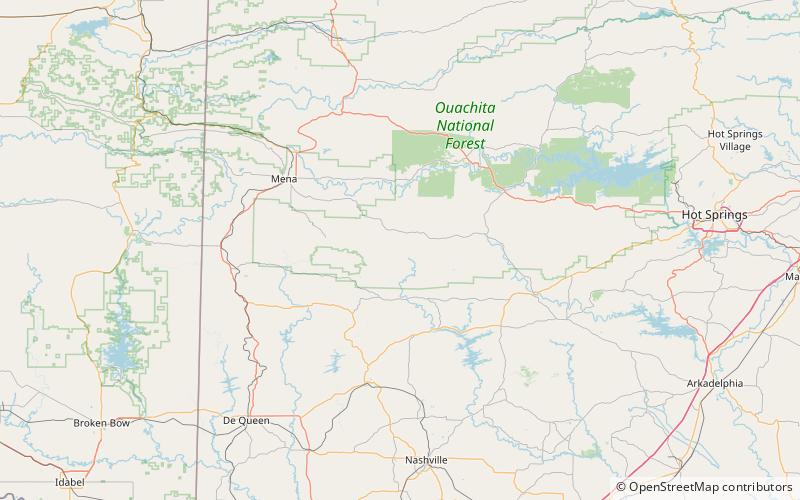
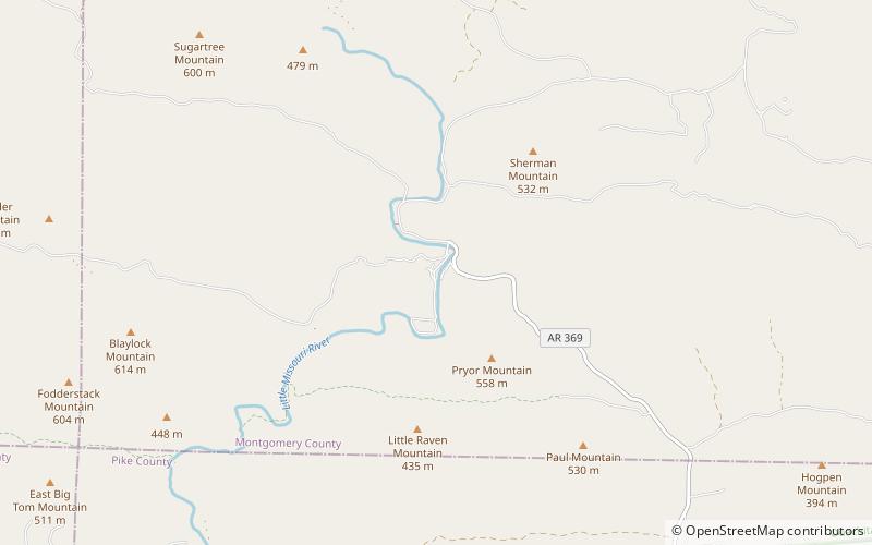
Albert Pike Recreation Area is a recreational area located in the Ouachita National Forest about 6 miles north of Langley, Arkansas in southern Montgomery County, Arkansas featuring swimming and camping areas on the Little Missouri River. ()
Elevation: 902 ft a.s.l.Coordinates: 34°22'21"N, 93°52'47"W
Address
Ouachita National Forest
ContactAdd
Social media
Add
Day trips
Albert Pike Recreation Area – popular in the area (distance from the attraction)
Nearby attractions include: Little Missouri Falls.