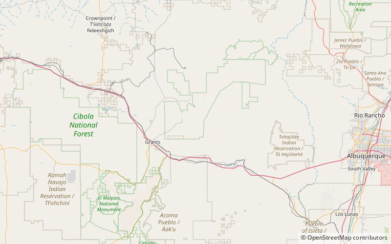
San Mateo Mountains, Cibola National Forest

Map
Facts and practical information
The San Mateo Mountains are a small mountain range in Cibola and McKinley counties of New Mexico, in the southwestern United States. The highest point in the range is Mount Taylor, at 11,301 ft. The range lies just northeast of the community of Grants, and about 60 miles west of Albuquerque. This range should not be confused with the identically named range in Socorro County, south of this range. ()
Maximum elevation: 11301 ftCoordinates: 35°14'24"N, 107°36'36"W
Address
Cibola National Forest
ContactAdd
Social media
Add
Day trips
San Mateo Mountains – popular in the area (distance from the attraction)
Nearby attractions include: Mount Taylor.
