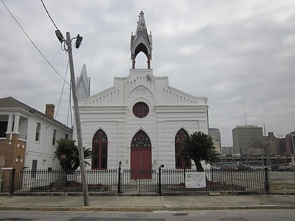
Lafitte Greenway, New Orleans
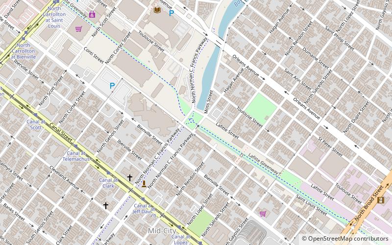
Map
Map

Facts and practical information
The Lafitte Greenway is a trail for pedestrians and bicycles located in New Orleans, Louisiana, extending from Louis Armstrong Park to Bayou St. John and beyond. Opened in 2015, it is the latest reconfiguration of a historic transportation corridor that has been in use for over two centuries. ()
Elevation: 3 ft a.s.l.Coordinates: 29°58'22"N, 90°5'29"W
Address
Mid-City New Orleans (Mid-City)New Orleans
ContactAdd
Social media
Add
Day trips
Lafitte Greenway – popular in the area (distance from the attraction)
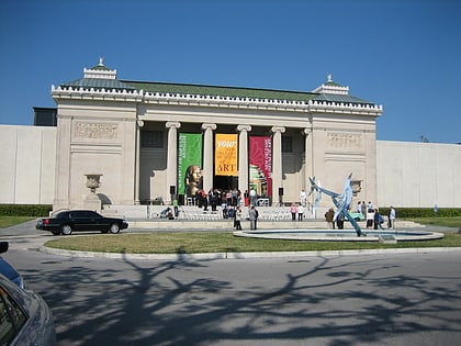
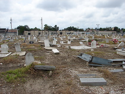
Nearby attractions include: Saint Louis Cemetery, Fair Grounds Race Course, New Orleans Museum of Art, Carousel Gardens Amusement Park.
Frequently Asked Questions (FAQ)
Which popular attractions are close to Lafitte Greenway?
Nearby attractions include Jefferson Davis Monument, New Orleans (7 min walk), Mid-City New Orleans, New Orleans (9 min walk), Bayou St. John, New Orleans (10 min walk), Pitot House, New Orleans (17 min walk).
How to get to Lafitte Greenway by public transport?
The nearest stations to Lafitte Greenway:
Tram
Bus
Tram
- Canal at Jeff Davis • Lines: 47, 48 (7 min walk)
Bus
- FlixBus New Orleans • Lines: 2210, 2211, 2221 (29 min walk)
