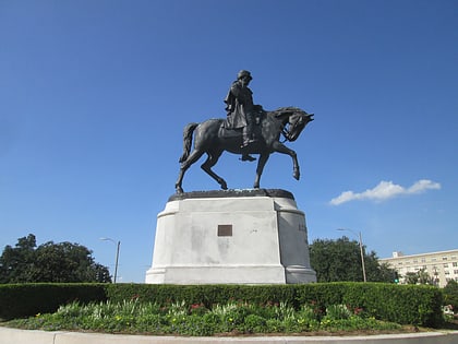
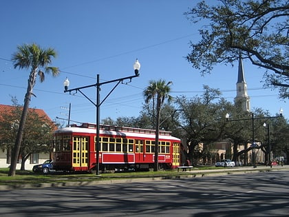
Fairgrounds, New Orleans
Map
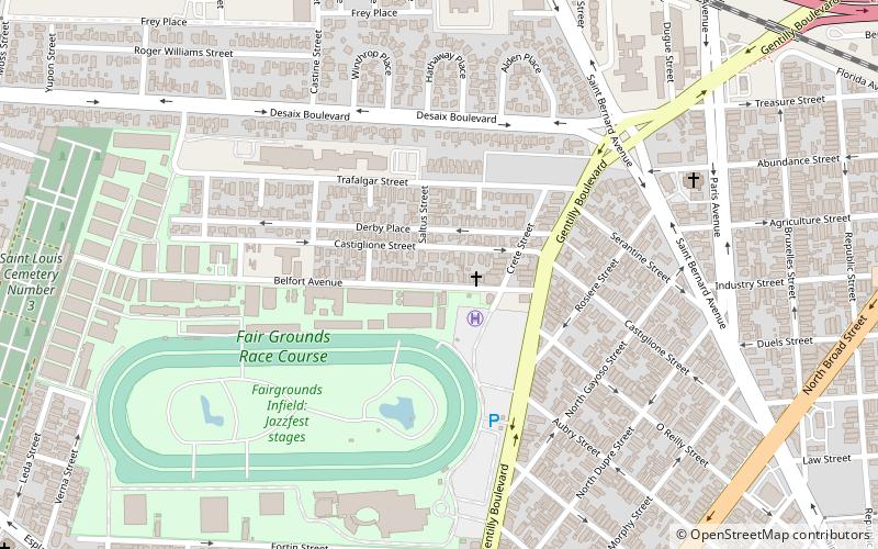
Map

Facts and practical information
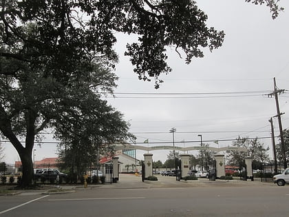
Fairgrounds is a neighborhood of the city of New Orleans. A subdistrict of the Mid-City District Area, its boundaries as defined by the New Orleans City Planning Commission are: Florida Avenue, Dugue, Treasure, Republic and Abundance Streets to the north, North Broad Street to the east, Esplanade Avenue to the south and Bayou St. John to the west. ()
Coordinates: 29°59'10"N, 90°4'42"W
Day trips
Fairgrounds – popular in the area (distance from the attraction)
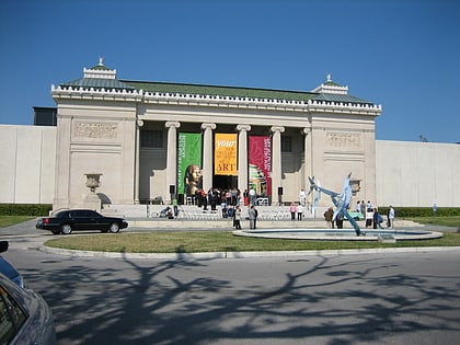
Nearby attractions include: City Park, Fair Grounds Race Course, New Orleans Museum of Art, Carousel Gardens Amusement Park.
Frequently Asked Questions (FAQ)
Which popular attractions are close to Fairgrounds?
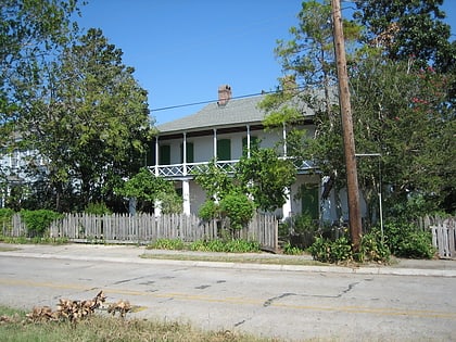
Nearby attractions include Fair Grounds Race Course, New Orleans (7 min walk), General Beauregard Equestrian Statue, New Orleans (18 min walk), Faubourg St. John, New Orleans (19 min walk), Pitot House, New Orleans (19 min walk).
How to get to Fairgrounds by public transport?
The nearest stations to Fairgrounds:
Tram
Tram
- Museum of Art • Lines: 48 (19 min walk)
- North Carrollton at Saint Louis • Lines: 48 (34 min walk)
