Waterplace, Providence
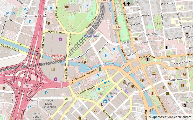
Map

Map

Facts and practical information
Waterplace Towers is the name of a high-rise residential condominium project in Providence, Rhode Island. The project completed construction in mid-2008, and was developed by Intercontinental Real Estate Corporation. ()
Completed: 2008 (18 years ago)Coordinates: 41°49'39"N, 71°24'46"W
Day trips
Waterplace – popular in the area (distance from the attraction)
Nearby attractions include: Wickenden Street, Providence Place, Rhode Island State House, The Arcade.
Frequently Asked Questions (FAQ)
Which popular attractions are close to Waterplace?
Nearby attractions include Waterplace Park and Riverwalk, Providence (2 min walk), Burnside Park, Providence (4 min walk), Fleur-de-lys Studios, Providence (5 min walk), Rhode Island Hospital Trust Building, Providence (5 min walk).
How to get to Waterplace by public transport?
The nearest stations to Waterplace:
Bus
Train
Bus
- Memorial and Exchange • Lines: 12x, 14, 21, 30, 65x, 95x (2 min walk)
- Exchange Terrace Stop X • Lines: 54, 59x, 61x (3 min walk)
Train
- Providence (4 min walk)


